
SAMPLING SITES
|
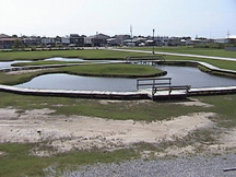
LUMCONFrontPond | |
| Latitude | 29.254503 | |
| Longitude | -90.660814 | |
|
Site Notes: Near Lumcon
|
||
|
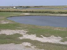
LUMCONBackPond | |
| Latitude | 29.255025 | |
| Longitude | -90.662371 | |
|
Site Notes: Near Lumcon
|
||
|
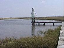
LUMCONBayou | |
| Latitude | 29.253958 | |
| Longitude | -90.663778 | |
|
Site Notes: Near Lumcon Out Back
|
||
|
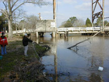
Prospect | |
| Latitude | 29.591417 | |
| Longitude | -90.678361 | |
|
Site Notes: Bayou Terrebonne at Prospect Bridge mileage = 2.5
|
||

|
ULCElem | |
| Latitude | 29.497819 | |
| Longitude | -90.575711 | |
|
Site Notes: Bayou Petite Caillou at Upper Little Caillou Elementary School mileage = 11.8
|
||
|
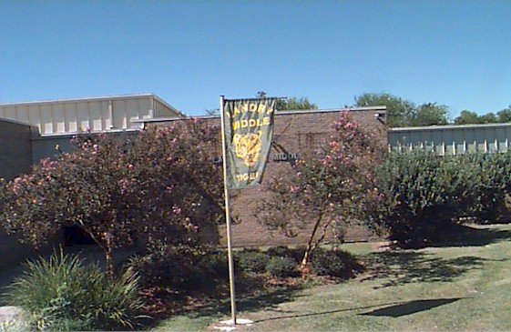
LaCacheMS | |
| Latitude | 29.457786 | |
| Longitude | -90.589756 | |
|
Site Notes: Bayou Petite Caillou at LaCache Middle School mileage = 15.0
|
||
|
ChauvinBros | |
| Latitude | 29.434656 | |
| Longitude | -90.595972 | |
|
Site Notes: Bayou Petite Caillou at Chauvin Brothers Hardware mileage = 16.7
|
||
|
Tanks | |
| Latitude | 29.298050 | |
| Longitude | -90.648889 | |
|
Site Notes: Bayou Petite Caillou at Tanks mileage = 26.9
|
||

|
SouthTerrebonneHS | |
| Latitude | 29.563689 | |
| Longitude | -90.641119 | |
|
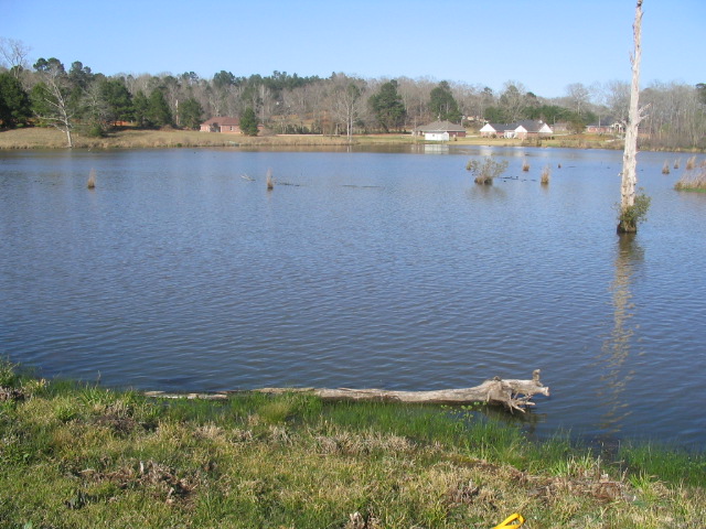
Site Notes: East bank of Bayou Terrebonne South of Houma and across from South Terrebonne High School. Photo is looking downstream.
|
||
|
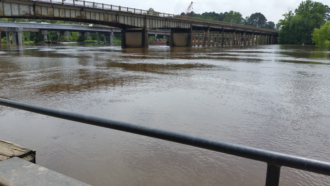
BayouLafourche@3185 | |
| Latitude | 29.802736 | |
| Longitude | -90.848744 | |
|
Site Notes: Southwest bank of Bayou Lafourche, north of Thibodaux. Photo is looking downstream at 3185 bridge.
|
||

|
LCaillouES | |
| Latitude | 29.422761 | |
| Longitude | -90.602225 | |
|
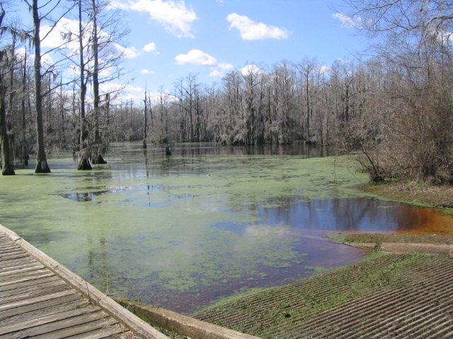
Site Notes: West bank of Bayou Little Caillou in Chauvin, across from Little Caillou Elementary School. Photo is looking downstream.
|
||
|
OaklawnJHS | |
| Latitude | 29.574239 | |
| Longitude | -90.687758 | |
|
Site Notes: Bayou Grand Caillou just behind Oaklawn and between Sonic and Napa across the bayou.
|
||
|
TerrHSHoumaJHS | |
| Latitude | 29.601194 | |
| Longitude | -90.736958 | |
|
Site Notes: Bayou Terrebonne from the St. Charles Bridge. Sampled the downstream side of the bridge at the center of the channel.
|
||
|
EllenderMHS | |
| Latitude | 29.568419 | |
| Longitude | -90.670211 | |
|
Site Notes: Bayou Chauvin at Bushnell Bridge in the center of the channel on the downstream side. No sidewalk on bridge, be careful.
|
||

|
LockportMS | |
| Latitude | 29.644286 | |
| Longitude | -90.531764 | |
|
Site Notes: Bayou Lafourche in Lockport. Site is right across the bayou road (not LA 1) from school.
|
||
|
BerwickHS | |
| Latitude | 29.714308 | |
| Longitude | -91.240050 | |
|
Site Notes: Bayou Teche on Pattie Drive Pumping Station
|
||
|
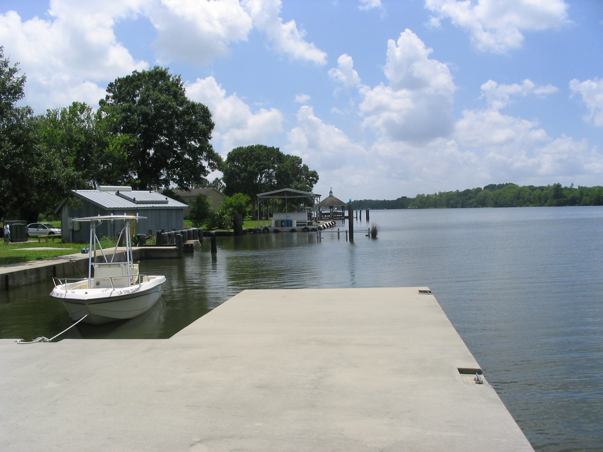
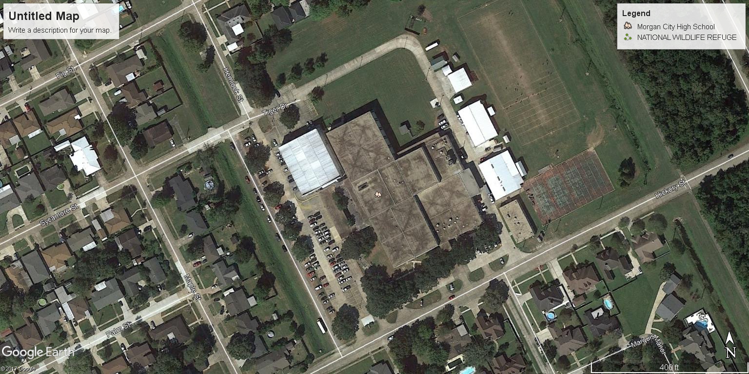
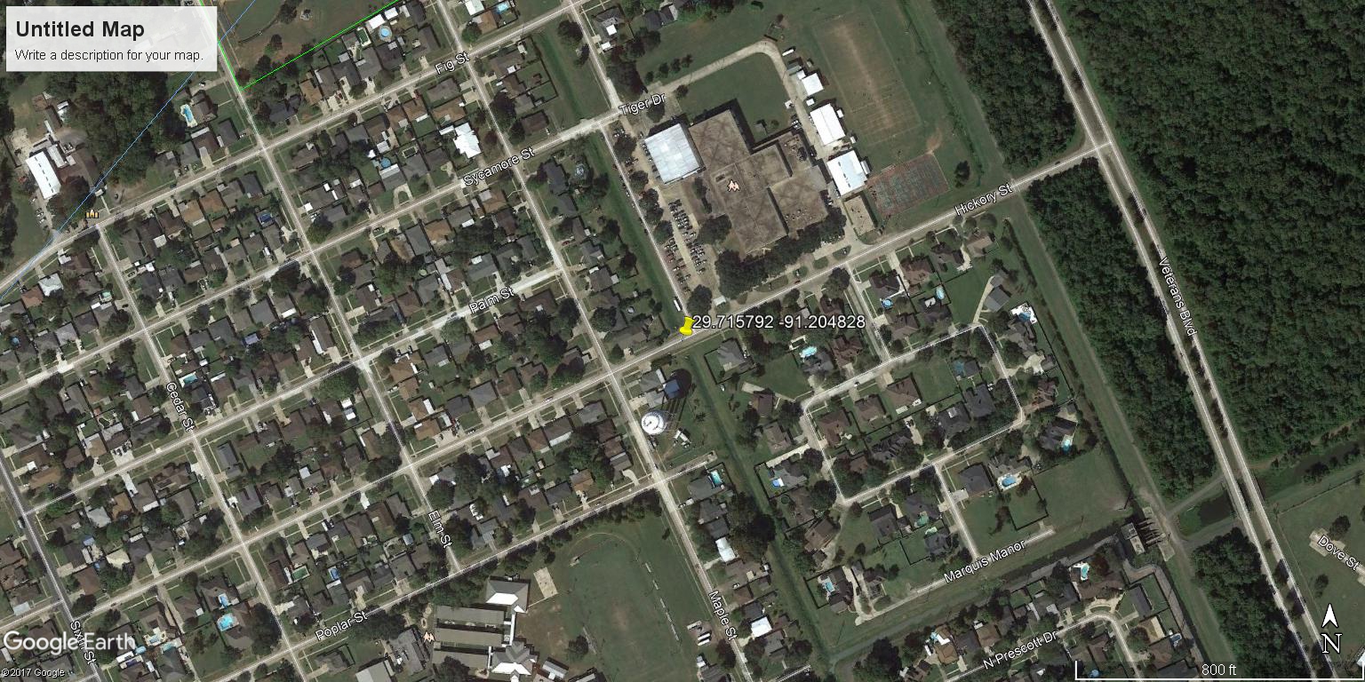
MorganCityHS | |
| Latitude | 29.716956 | |
| Longitude | -91.204481 | |
|
Site Notes:
|
||
|
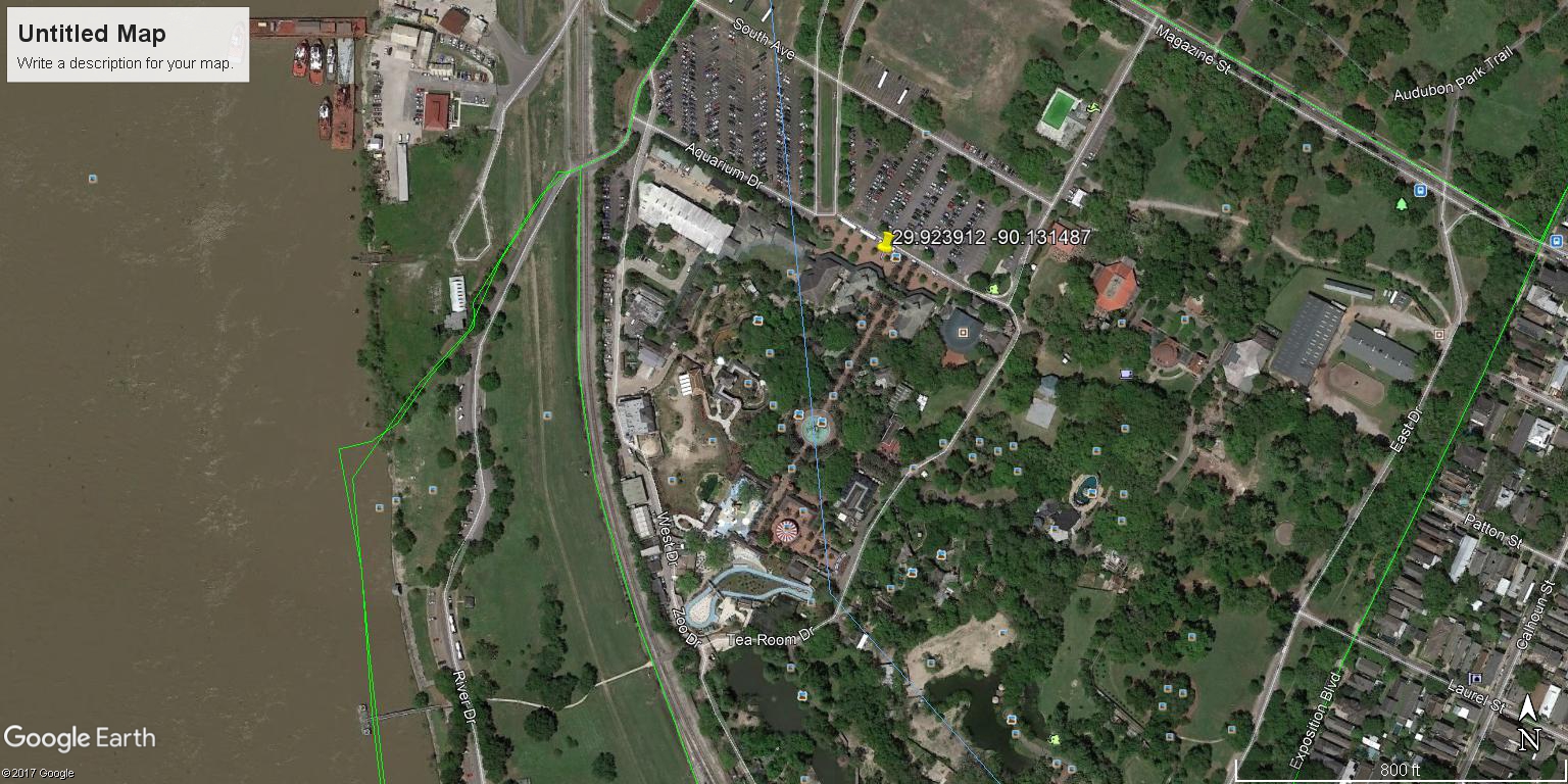
AudubonZoo | |
| Latitude | 29.923912 | |
| Longitude | -90.131487 | |
|
Site Notes: site in Audubon Zoo
|
||
|
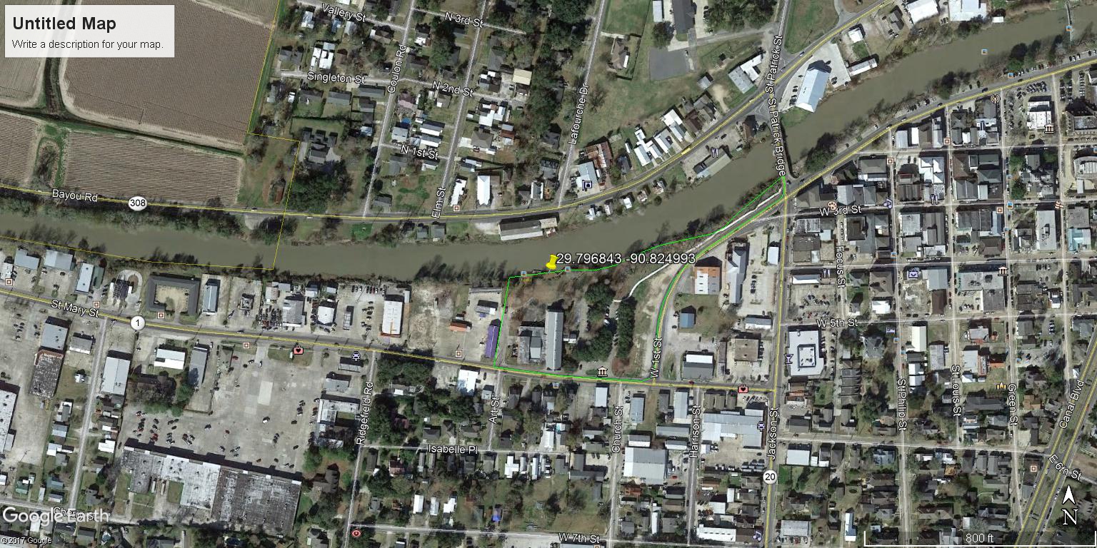
NichollsState | |
| Latitude | 29.795992 | |
| Longitude | -90.800886 | |
|
Site Notes: Bayou Lafourche near Nicholls State University
|
||
|
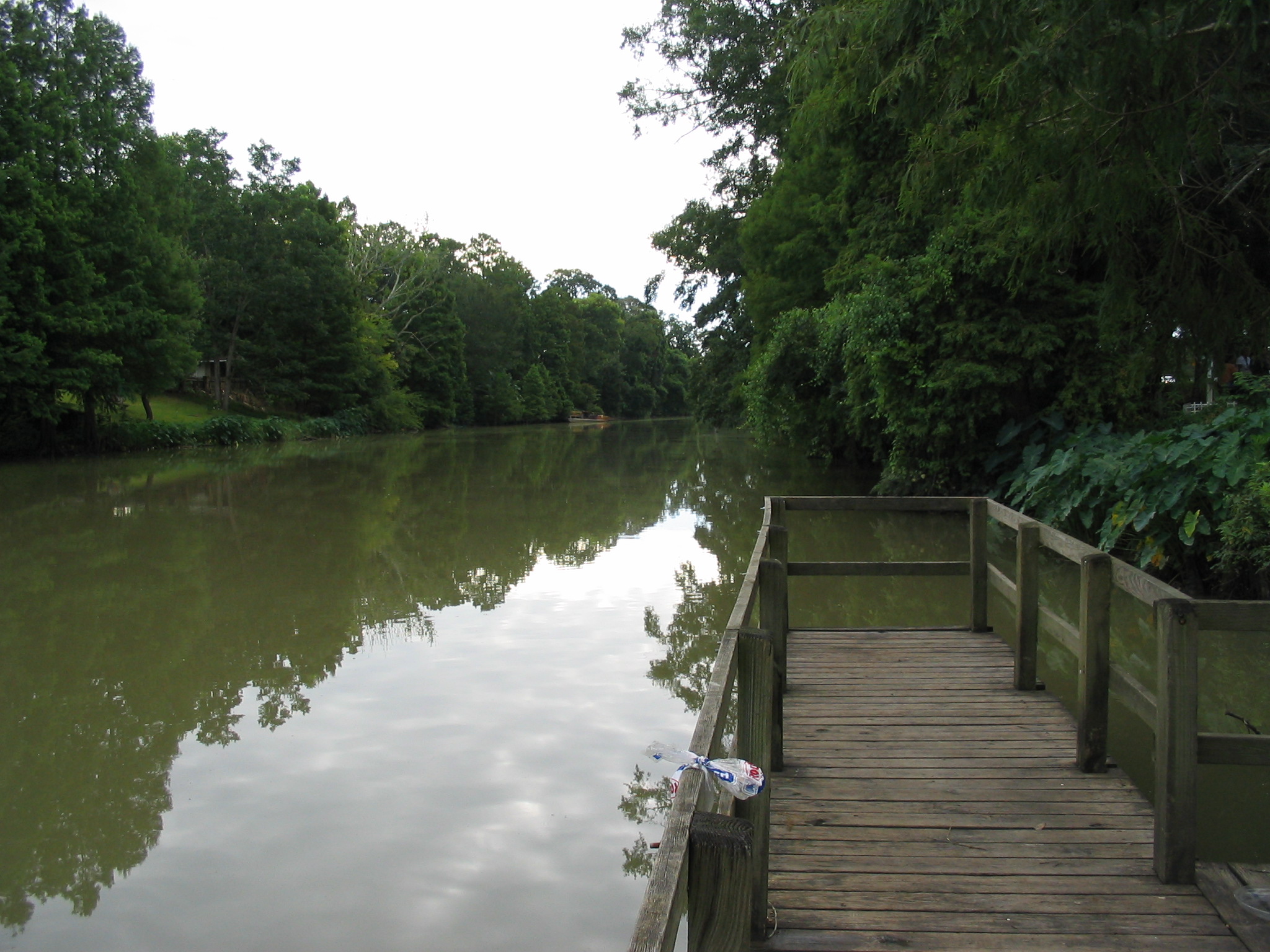
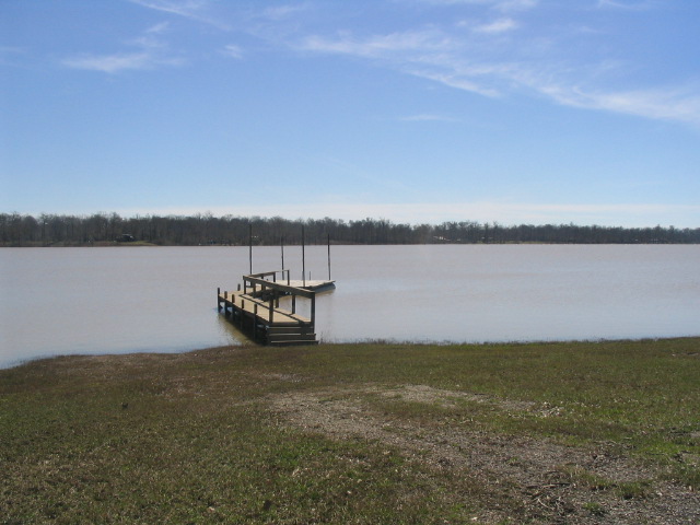
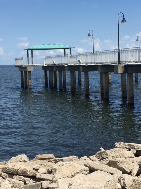
StAndrewsEES | |
| Latitude | 29.946654 | |
| Longitude | -90.129364 | |
|
Site Notes: Photo is looking toward the end of the public pier used for sampling.
|
||
|
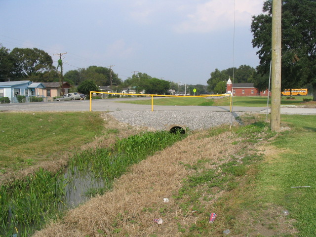
CaldwellMS | |
| Latitude | 29.718931 | |
| Longitude | -90.813669 | |
|
Site Notes: Drainage ditch in front of school (north and west of school building and other side of parking lot from church); next to telephone pole.
|
||
|
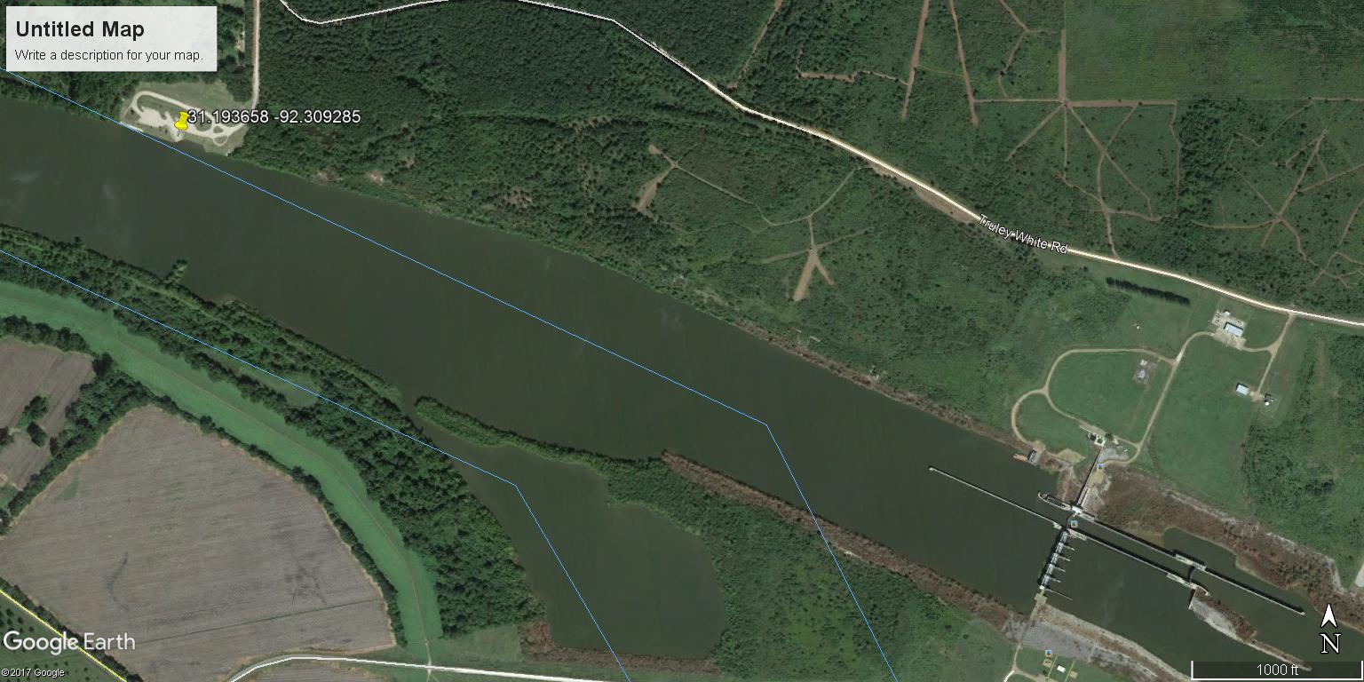
NorthCaddoMHS | |
| Latitude | 32.928911 | |
| Longitude | -93.975258 | |
|
Site Notes: Black Bayou flowing (slowly) into Red River. Site located at boat ramp in Noah Tyson Park.
|
||
|
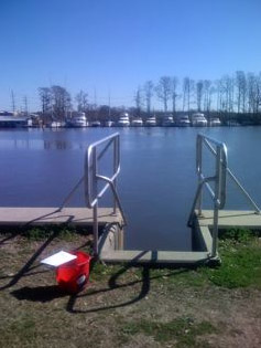
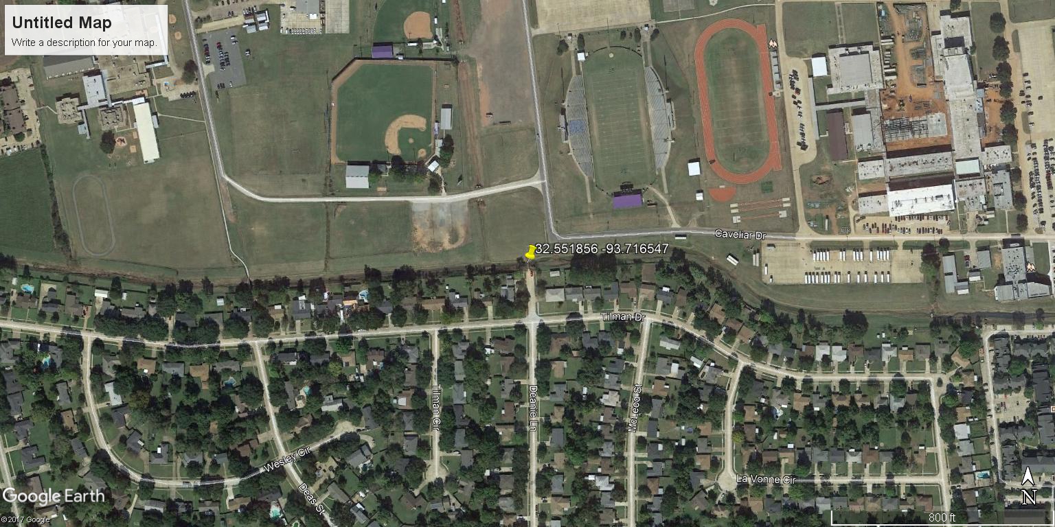
CEByrdHS | |
| Latitude | 32.499481 | |
| Longitude | -93.709586 | |
|
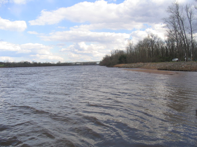
Site Notes: Red River at Stoner Avenue Boat Launch and Marina. Samples will be collected from dock. Photo looking downstream.
|
||
|
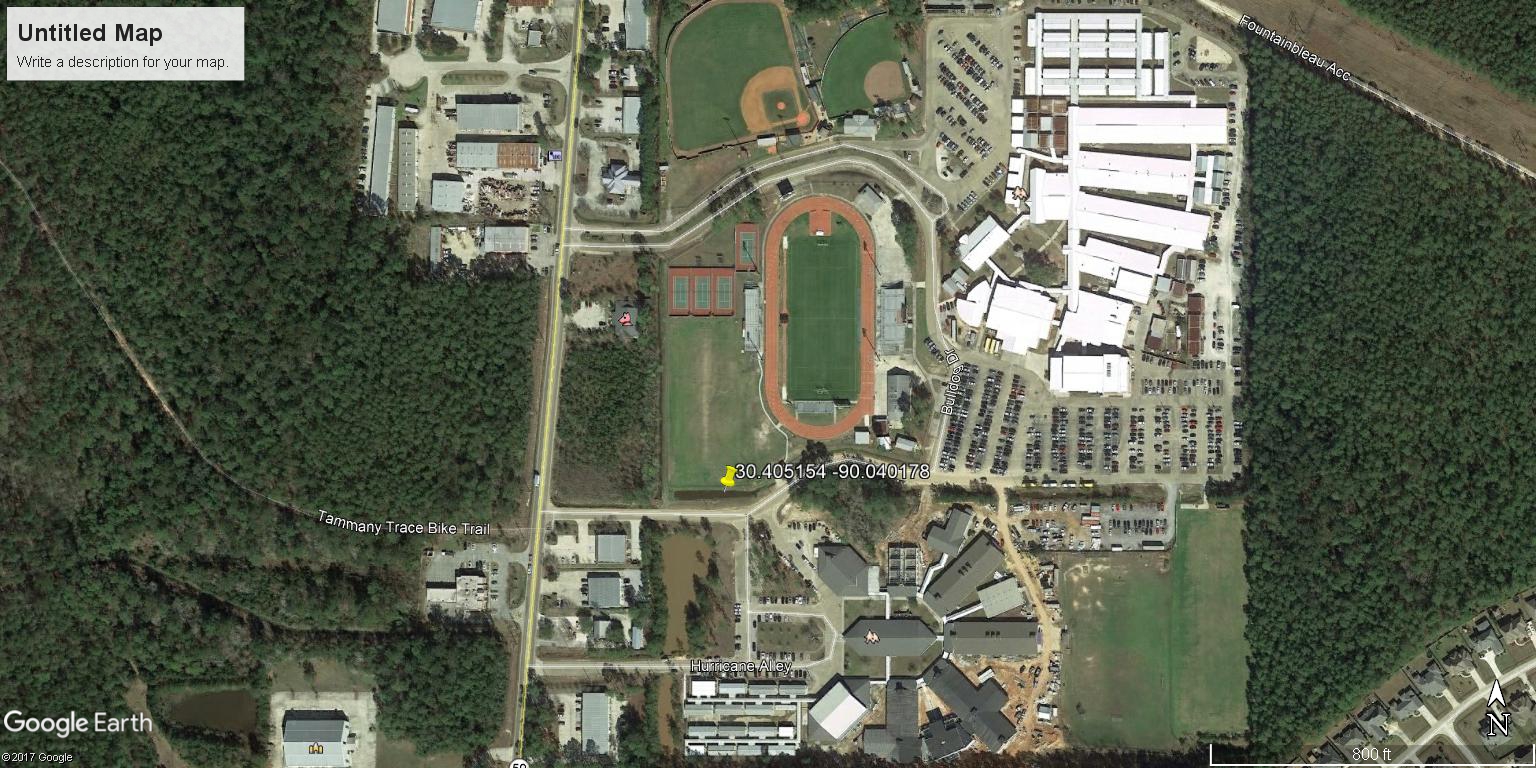
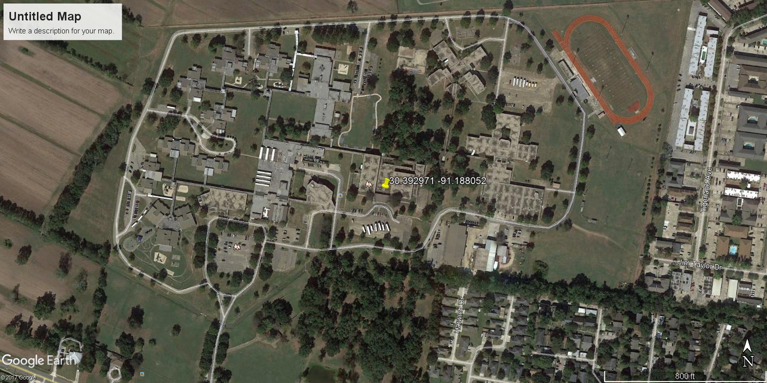
ReevesHS | |
| Latitude | 30.502614 | |
| Longitude | -92.915444 | |
|
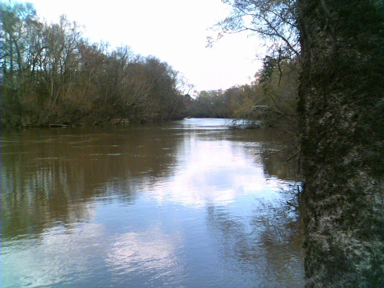
Site Notes: Calcasieu River looking upstream from Highway 190 and railroad tracks.
|
||
|
AudubonPkLagoon1 | |
| Latitude | 29.926856 | |
| Longitude | -90.126658 | |
|
Site Notes: : Audubon Park Lagoon at Newman Bandstand. Lagoon extends for about 1 mile through park and lies next to golf course
|
||

|
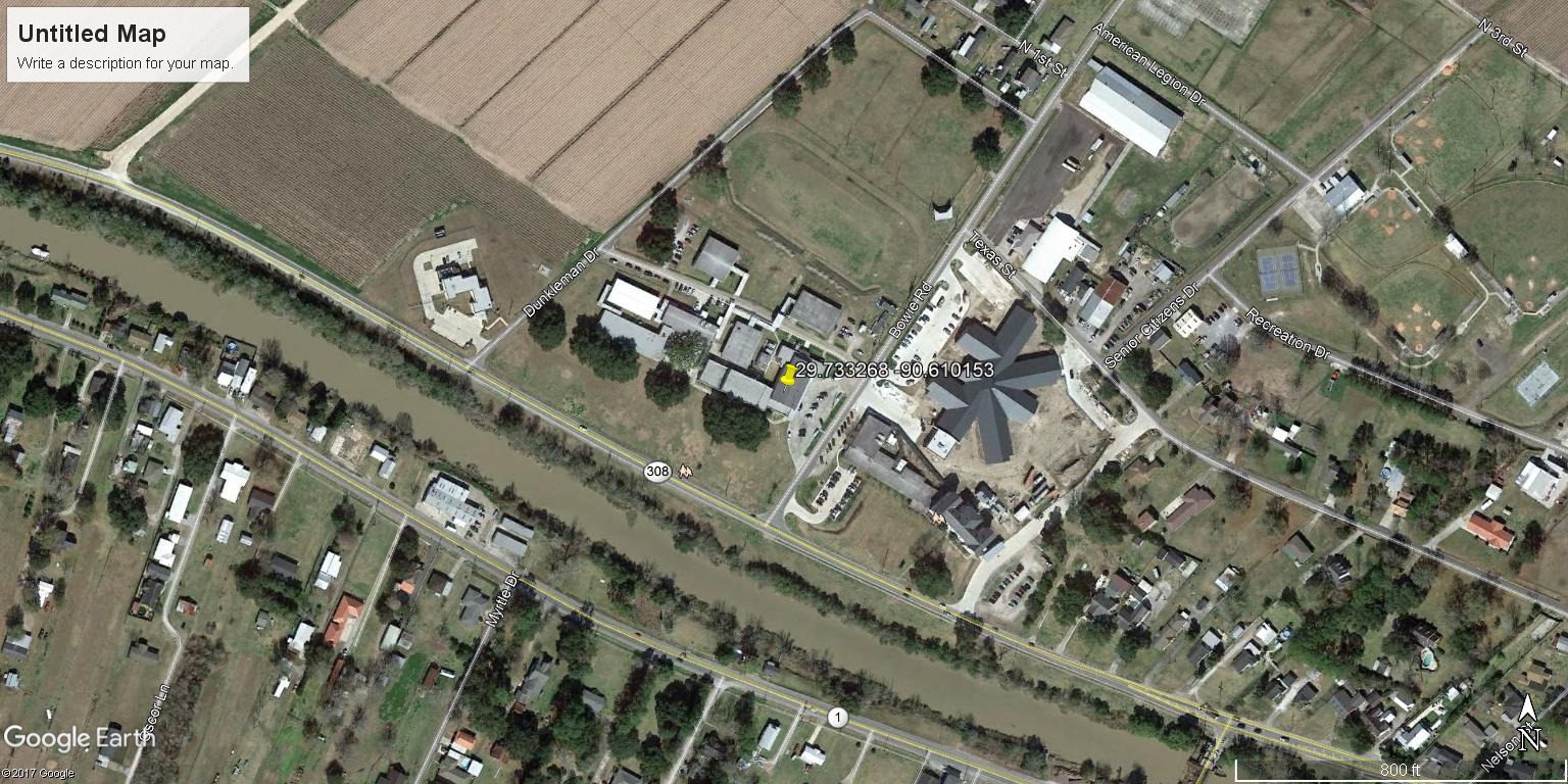
SekelAcademy | |
| Latitude | 29.737511 | |
| Longitude | -90.647570 | |
|
Site Notes: Bayou Lafourche looking upstream about 500 feet from North Raceland Water Tower at boat launch across LA Highway 1 from Zynn Street.
|
||
|
AudubonPkLagoon2 | |
| Latitude | 29.931949 | |
| Longitude | -90.123191 | |
|
Site Notes: NE bank of Audubon Lagoon right before the bend if one is going from Northwest to Southeast on the lagoon.
|
||
|
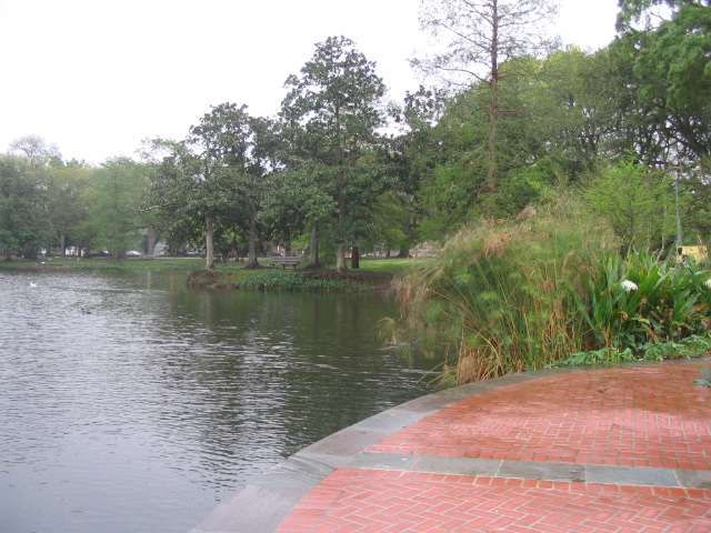
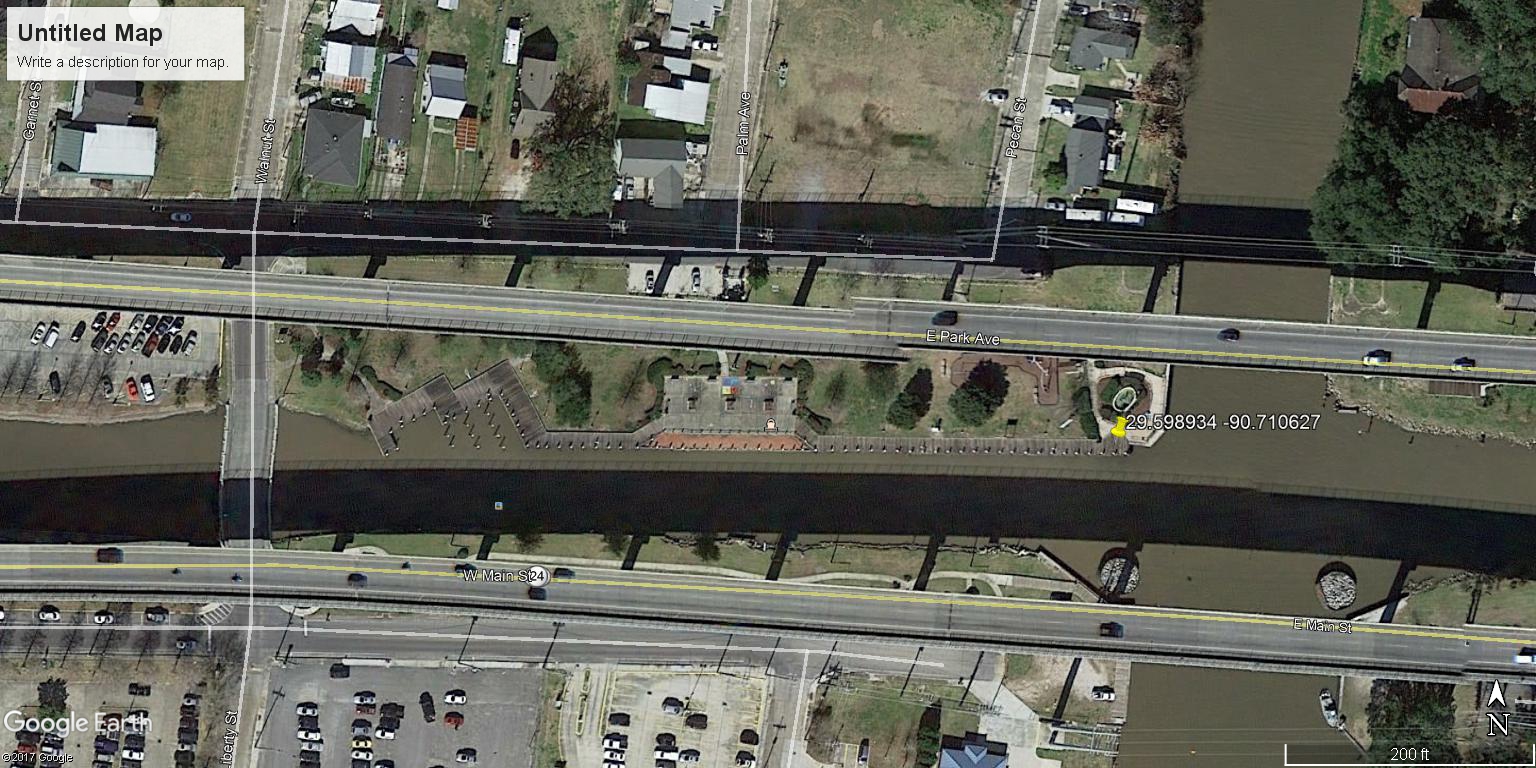
DowntownMarina | |
| Latitude | 29.598934 | |
| Longitude | -90.710627 | |
|
Site Notes: Bayou Terrebonne across from Terrebonne General Hospital (facing the hospital)
|
||
|
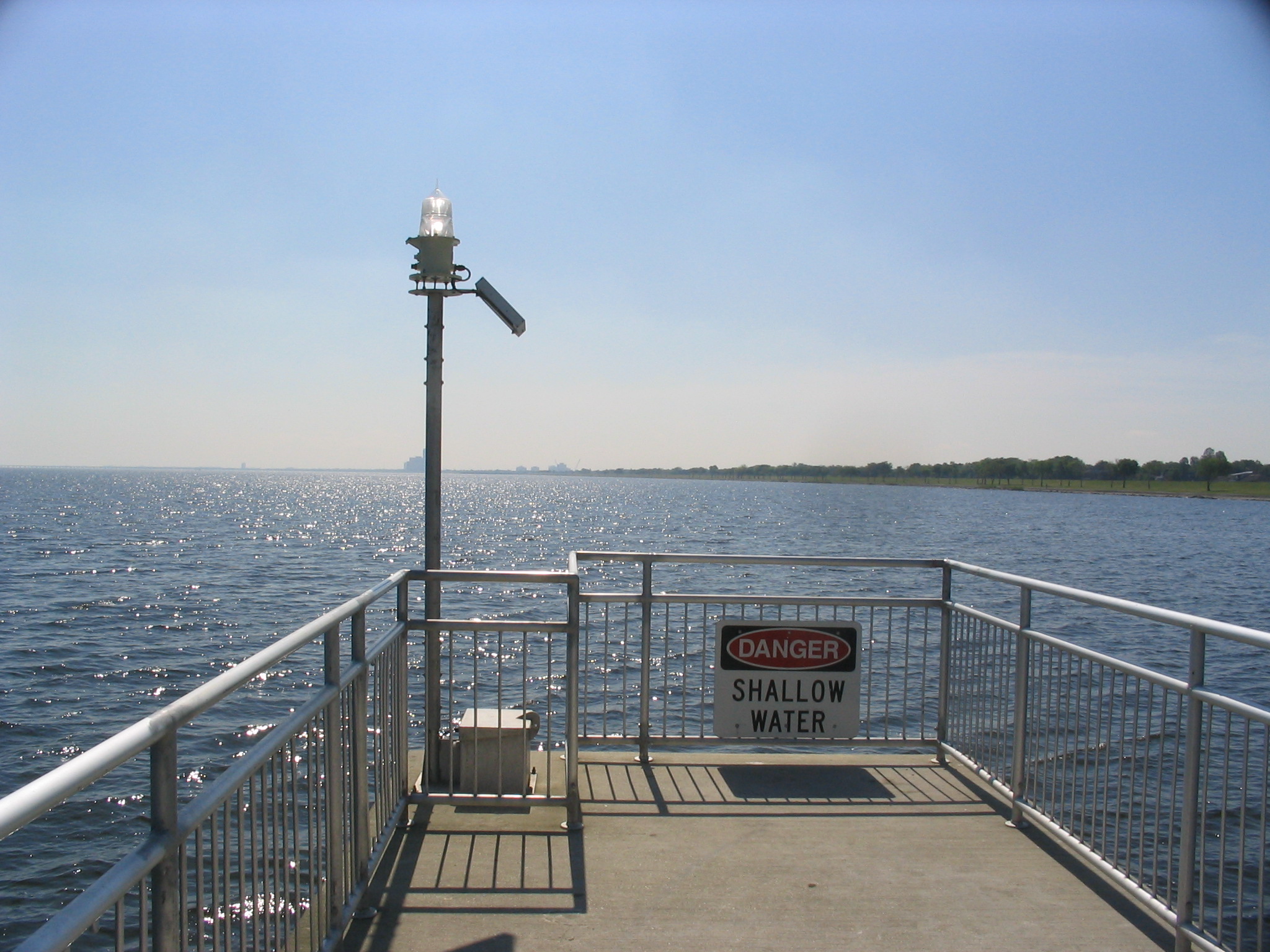
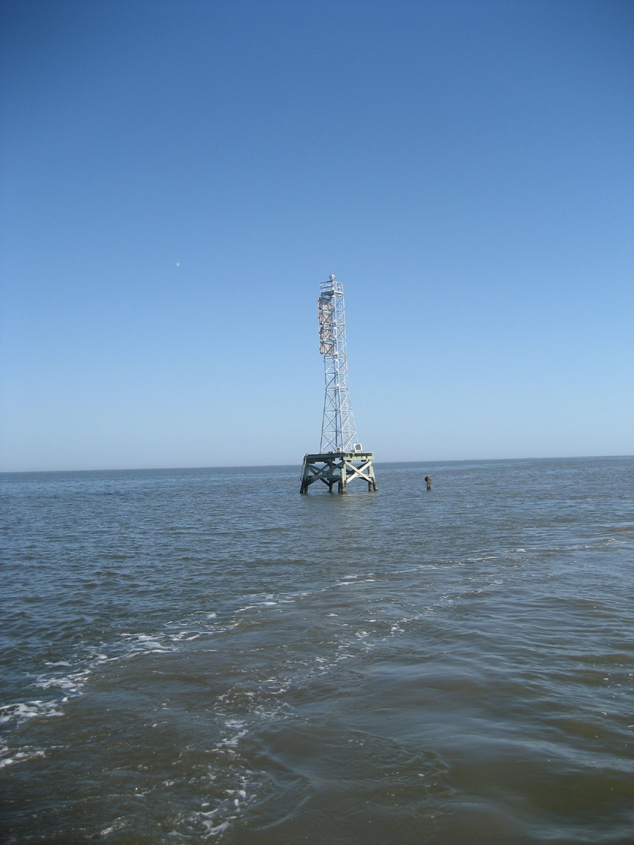
TerrebonneBay | |
| Latitude | 29.186222 | |
| Longitude | -90.608383 | |
|
Site Notes: Range Marker at the mouth of the Houma Navigational Channel south of Cocodrie
|
||
|
AudubonPkLagoon3 | |
| Latitude | 29.927140 | |
| Longitude | -90.126828 | |
|
Site Notes: Located on the lagoon at Audubon Park near a large fallen tree.
|
||
|
TchefuncteRiver | |
| Latitude | 30.404298 | |
| Longitude | -90.154747 | |
|
Site Notes: In Madisonville at the Tchefuncte River Boat Launch between the corner of Mulberry and Water Streets.
|
||

|
HoumaNavigationCanal3 | |
| Latitude | N290924.9 | |
| Longitude | W903508.0 | |
|
Site Notes: Houma Navigation Channel in Terrebonne Bay, south of range marker. Site is located between navigational buoys #10 and #11.
|
||
|
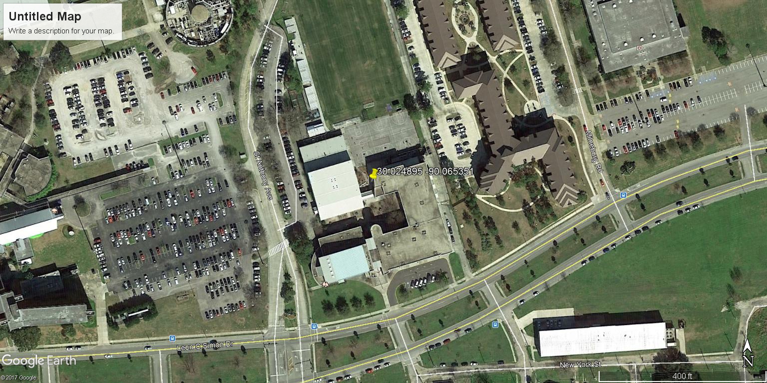
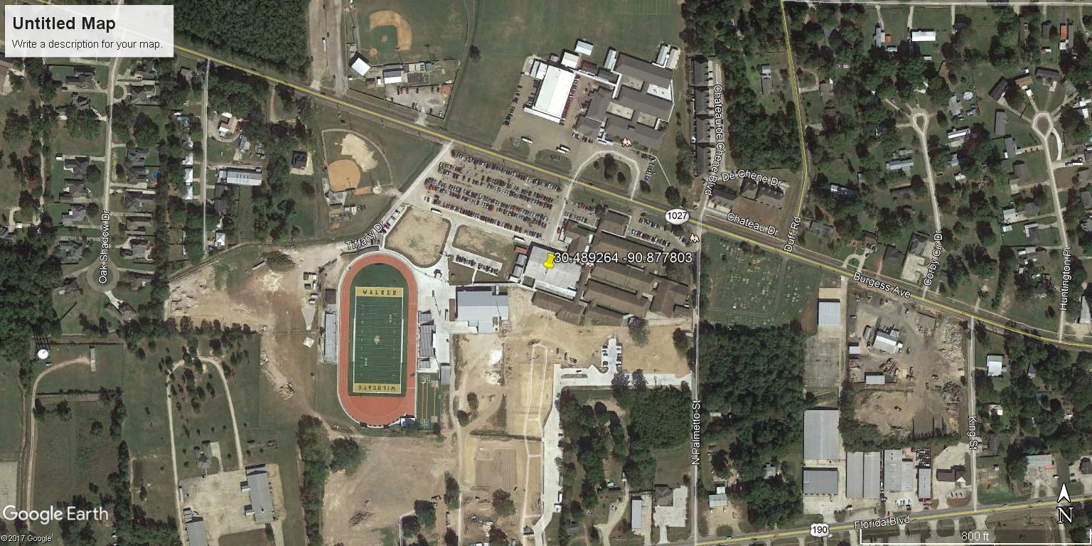
WalkerHS | |
| Latitude | 30.489264 | |
| Longitude | -90.877803 | |
|
Site Notes: Site is on Amite River.
|
||

|
HelenCoxHS | |
| Latitude | 29.873792 | |
| Longitude | -90.054985 | |
|
Site Notes: Site is on Harvey Canal.
|
||
|
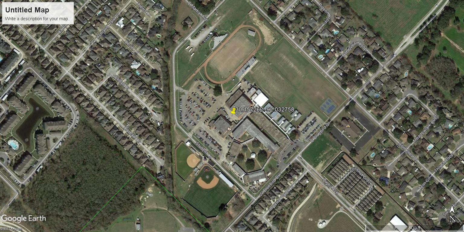
ComeauxHighSchool | |
| Latitude | 30.157262 | |
| Longitude | -92.032758 | |
|
Site Notes: Site is on the Vermillion River.
|
||
|
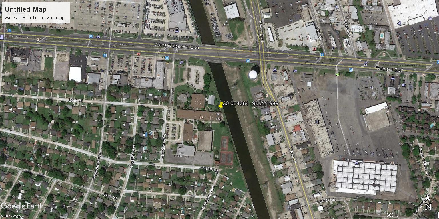
ArchBishopChapelleHS | |
| Latitude | 30.004064 | |
| Longitude | -90.221989 | |
|
Site Notes: Site on Soniat Canal, which runs along the eastern side of the school. A locked gate protects the site.
|
||
|
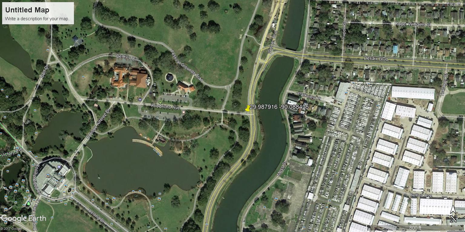
McDonogh42Elementary | |
| Latitude | 29.987916 | |
| Longitude | -90.088425 | |
|
Site Notes: City Park Lagoon number 7. Samples are collected from Friedricks Drive facing Wiesner Blvd.
|
||
|
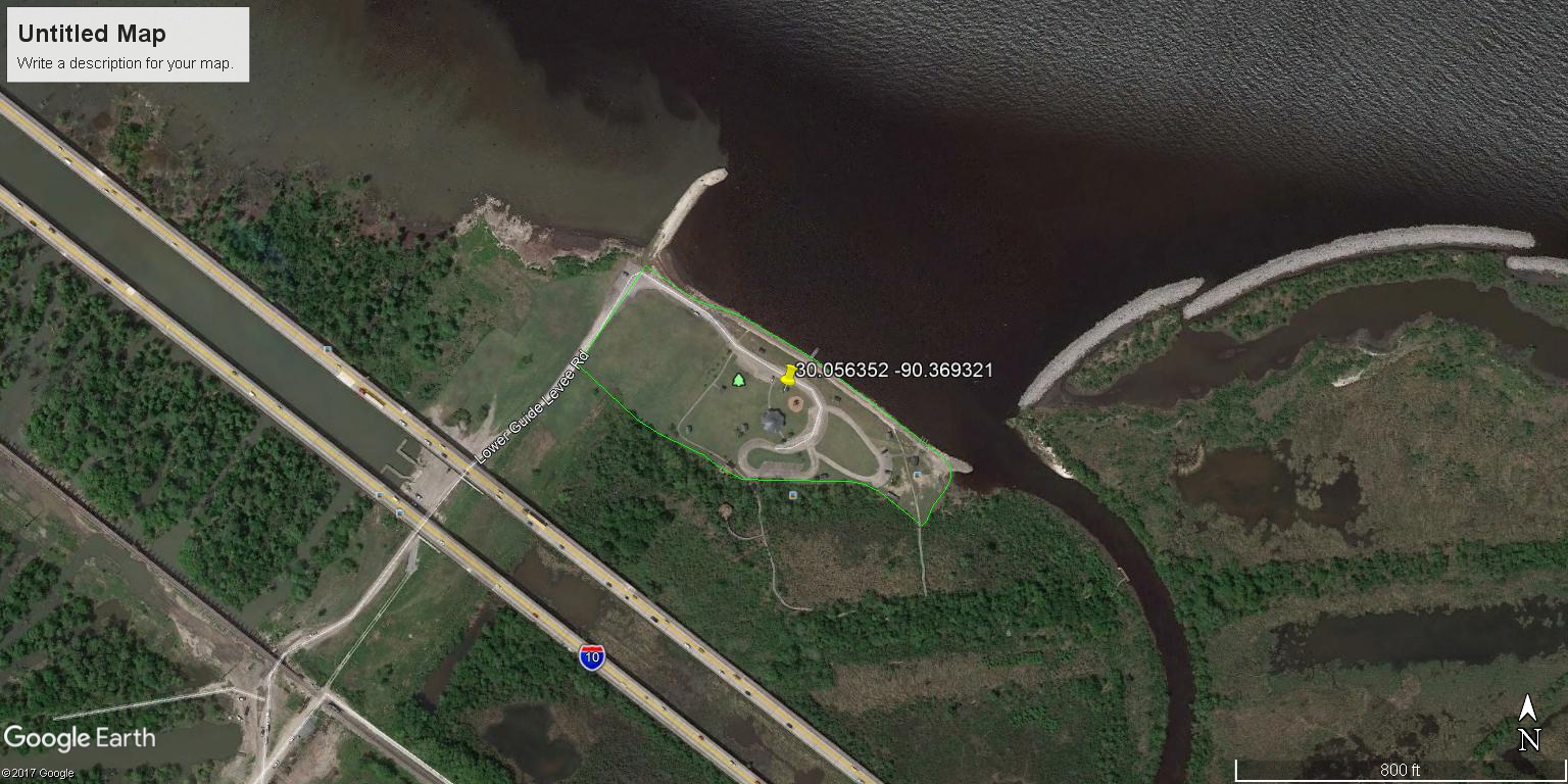
WetlandWatchersPark | |
| Latitude | 30.056352 | |
| Longitude | -90.369321 | |
|
Site Notes: Site located on Bonnet Carre Spillway, Norco.
|
||
|
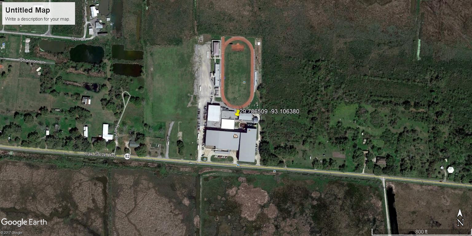
SouthCameronHS | |
| Latitude | 29.786509 | |
| Longitude | -93.106380 | |
|
Site Notes: Site located on Rockefeller Refuge.
|
||
|
|
WalkerHS | |
| Latitude | 30.489264 | |
| Longitude | -90.877803 | |
|
Site Notes: Gray\\\'s Creek tributary
|
||
|
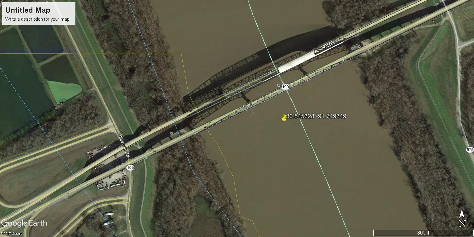
OpelousasJrHigh | |
| Latitude | 30.545328 | |
| Longitude | -91.749349 | |
|
Site Notes: Site Notes: Atachafalya River at Krotz Springs off N. Levee Rd. under Hwy 90 bridge.
|
||

|
DevallMiddleSchool | |
| Latitude | 30.540482 | |
| Longitude | -91.293138 | |
|
Site Notes: Site Notes: Facing East, samples collected in front of school. Water drains south into Intercoastal Canal.
|
||
|
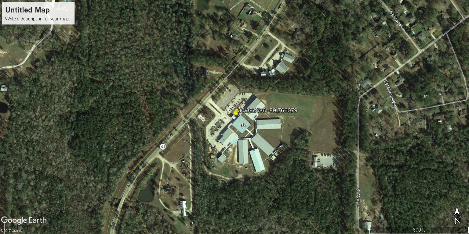
CreeksideJH | |
| Latitude | 30.382486 | |
| Longitude | -89.766079 | |
|
Site Notes: Site Notes: Located at residential dock. Samples collected one foot out from dock on right shoreline when facing downstream
|
||

|
SouthGrantElementary | |
| Latitude | 31.446333 | |
| Longitude | -92.526352 | |
|
Site Notes:
|
||
|
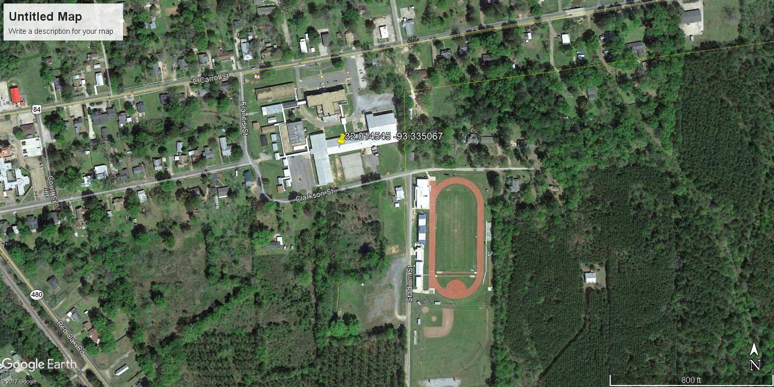
RedRiverJHS | |
| Latitude | 32.014545 | |
| Longitude | -93.335067 | |
|
Site Notes:
|
||
|
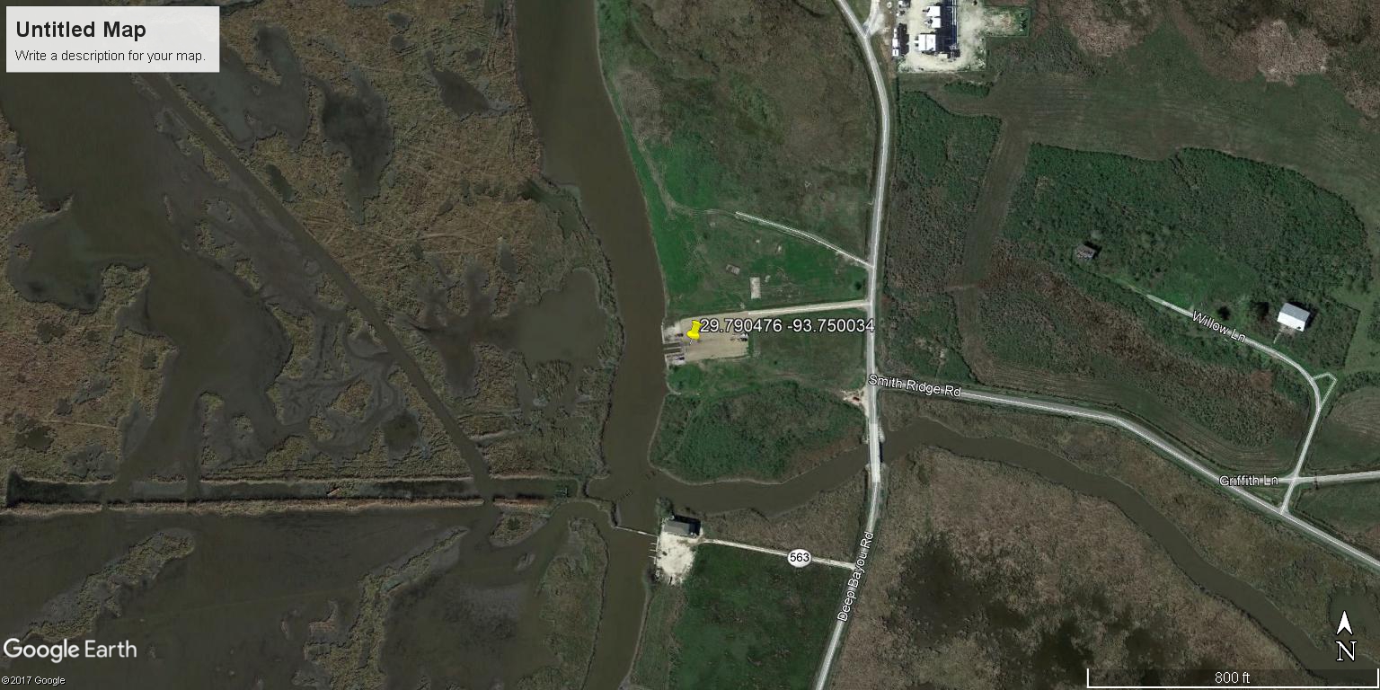
JohnsonBayouHS | |
| Latitude | 29.790476 | |
| Longitude | -93.750034 | |
|
Site Notes: Deep Bayou boat launch off Cameron Parish 545, approx. 1.9 miles N of Hwy 82
|
||

|
BigLake | |
| Latitude | 29.981857 | |
| Longitude | -93.271133 | |
|
Site Notes: On Big Lake at Romain Theriot's private pier in Cameron Parish.
|
||
|
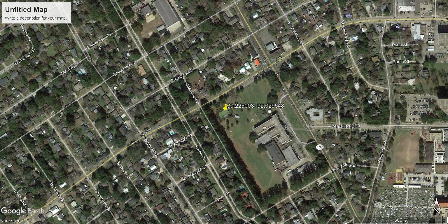
LafayetteMiddleSchoolPond | |
| Latitude | 30.225008 | |
| Longitude | -92.029548 | |
|
Site Notes: Testing will be done on the pier facing North
|
||
|
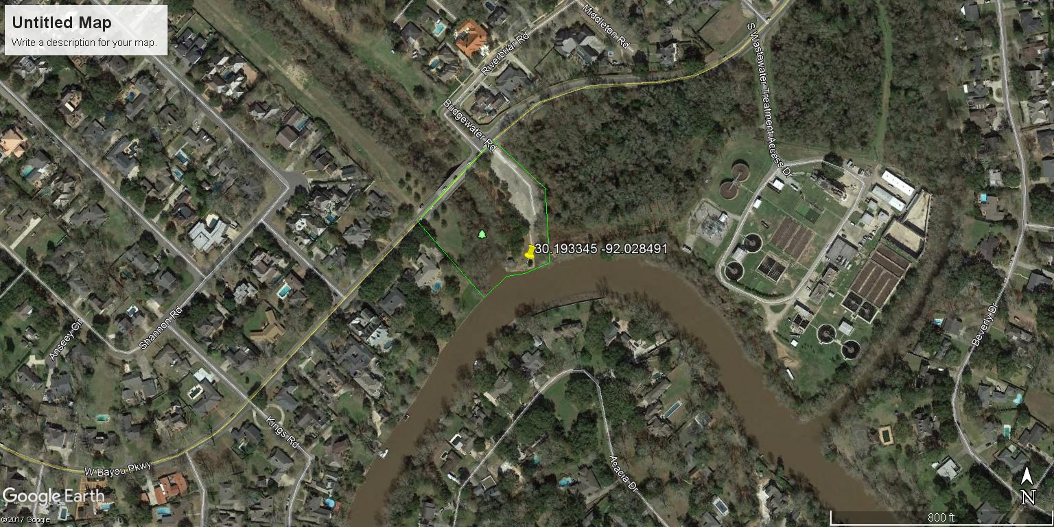
RotaryPointBoatLaunch | |
| Latitude | 30.193345 | |
| Longitude | -92.028491 | |
|
Site Notes: Testing will be done on the dock facing East.
|
||
|
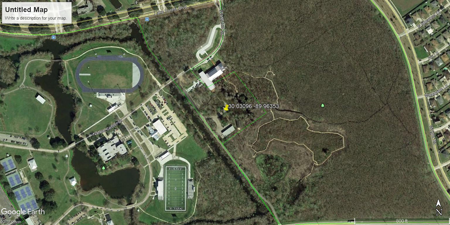
AudubonNatureCenter | |
| Latitude | 30.03096 | |
| Longitude | -89.96353 | |
|
Site Notes: Site is on the N side of the Limnology walk at the center
|
||

|
AgriculturalAndMunicipalCanals | |
| Latitude | 30.264254 | |
| Longitude | -91.040609 | |
|
Site Notes: Site is at the fork between the agricultural and municipal canals; canal is 3-4 ft. deep with slow moving water
|
||

|
BlackwaterConservationArea | |
| Latitude | 30.534522 | |
| Longitude | -91.087203 | |
|
Site Notes: Site is at 9448 Blackwater Road, City of Central
|
||
|
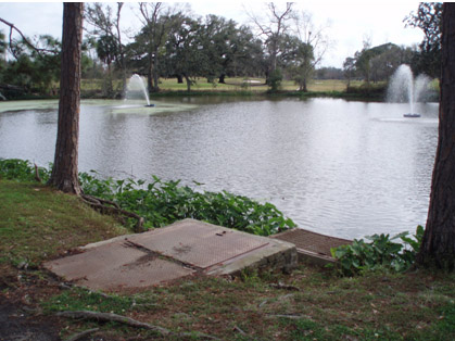
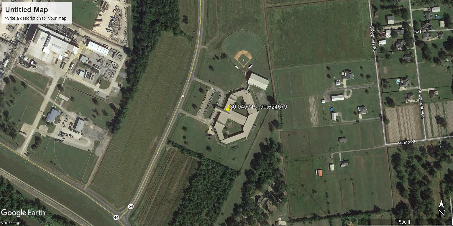
GaryvilleMtAiryMagnetPond | |
| Latitude | 30.045345 | |
| Longitude | -90.624679 | |
|
Site Notes: Pond is within the school\\\'s lower courtyard. A deck is surronded by the pond. Ducks, rabbits and chickens live nearby
|
||
|
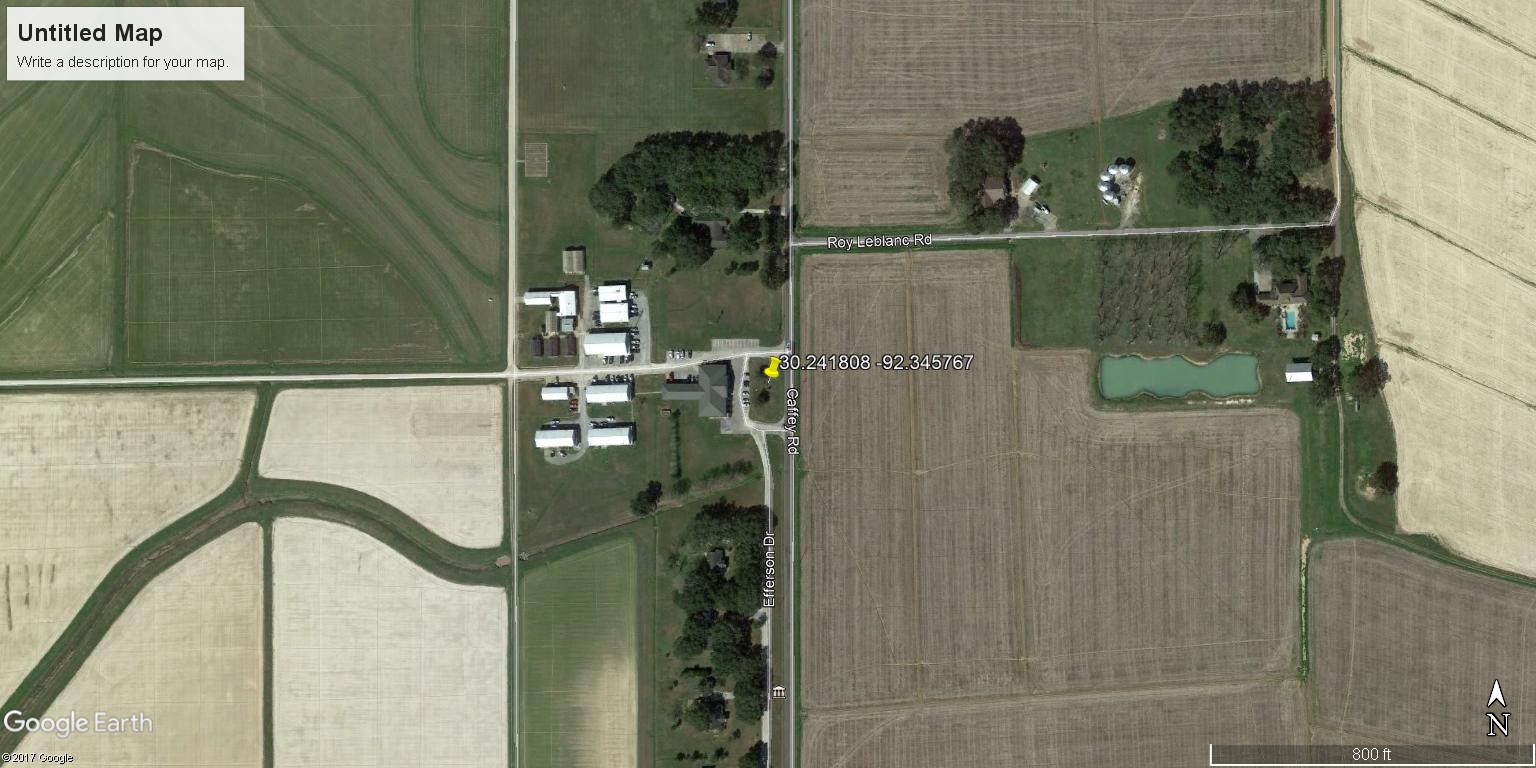
BayouWilkoff | |
| Latitude | 30.241808 | |
| Longitude | -92.345767 | |
|
Site Notes: Off LSU Rice Research station. Samples collected from S bank 1/4 mile W and 100 yds. N of field
|
||
|
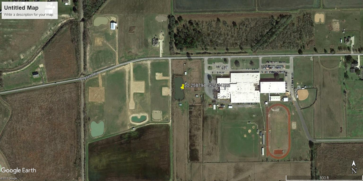
CrowleyHighSchoolPond | |
| Latitude | 30.258794 | |
| Longitude | -92.404753 | |
|
Site Notes: School pond W of main building within locked fence. Samples collected from north-facing side of pier
|
||
|
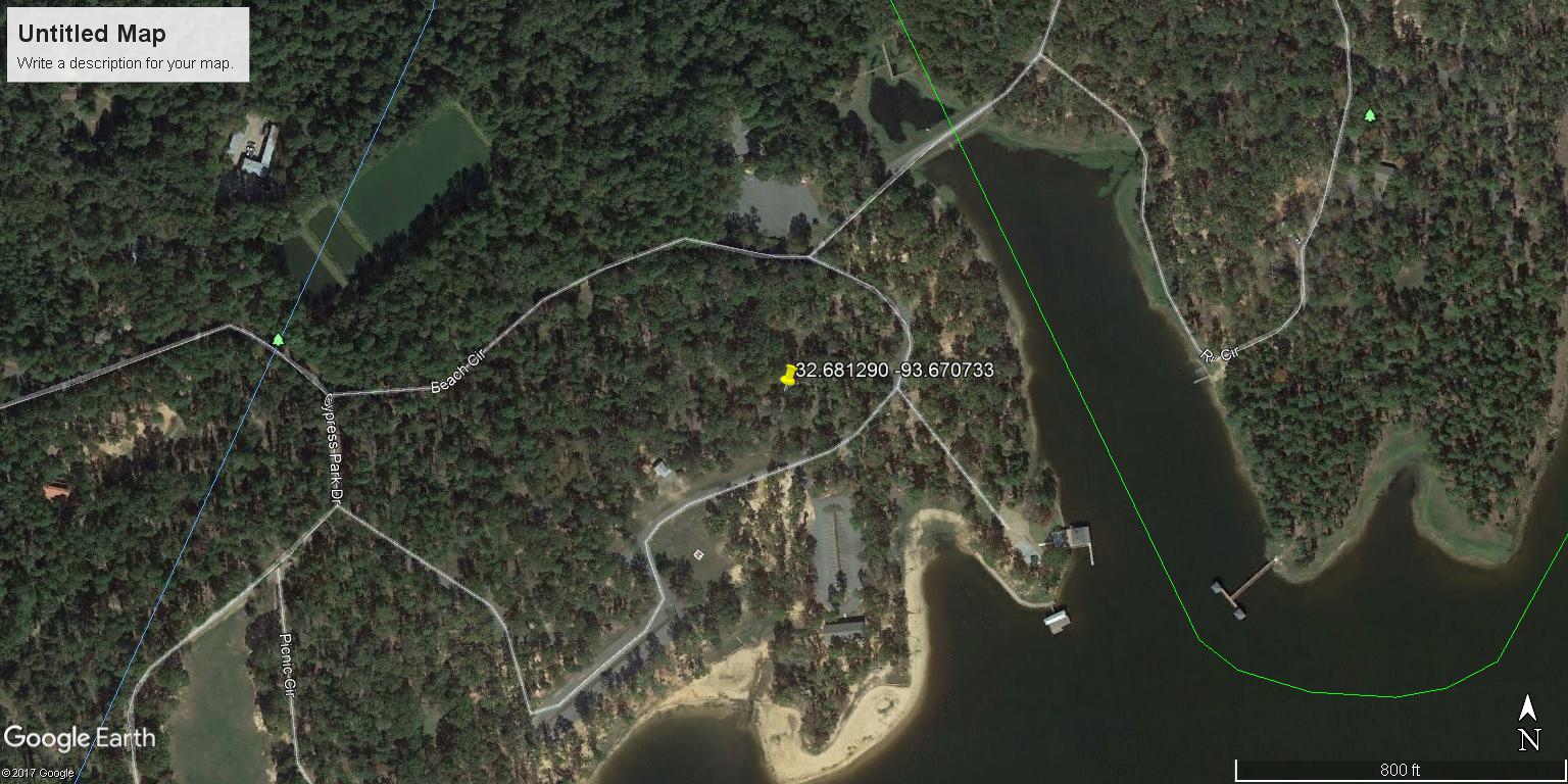
CypressNatureStudyInlet | |
| Latitude | 32.681290 | |
| Longitude | -93.670733 | |
|
Site Notes: Eastern side of inlet pier directly over main channel. Sample site is on S side of pier at the post marked with an X
|
||
|
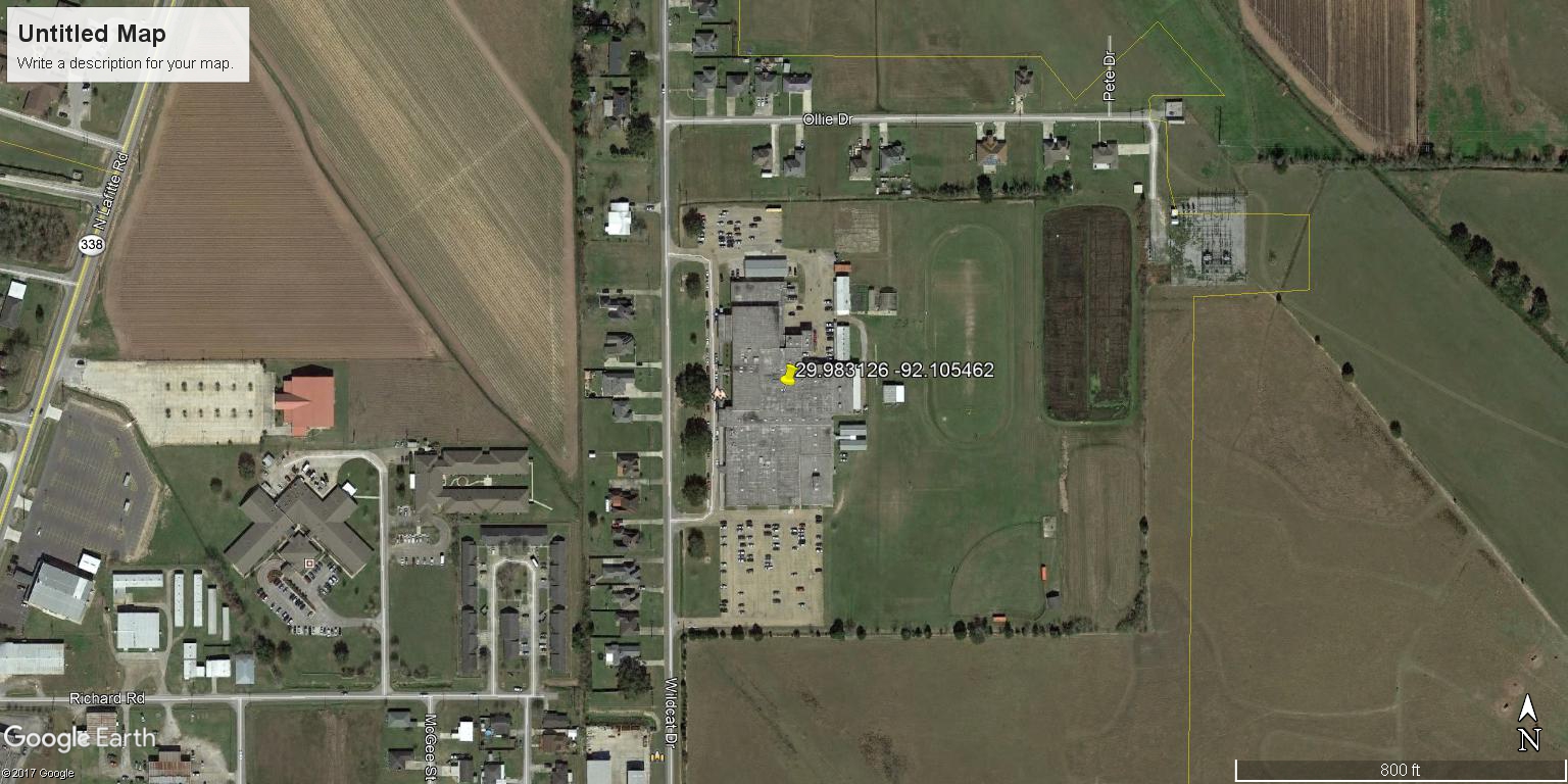
AbbevilleHigh | |
| Latitude | 29.983126 | |
| Longitude | -92.105462 | |
|
Site Notes:
|
||

|
BuhlowLake | |
| Latitude | 31.335132 | |
| Longitude | -92.444309 | |
|
Site Notes: Samples are taken from left side of main entrance parking lot where grass meets gravel
|
||
|
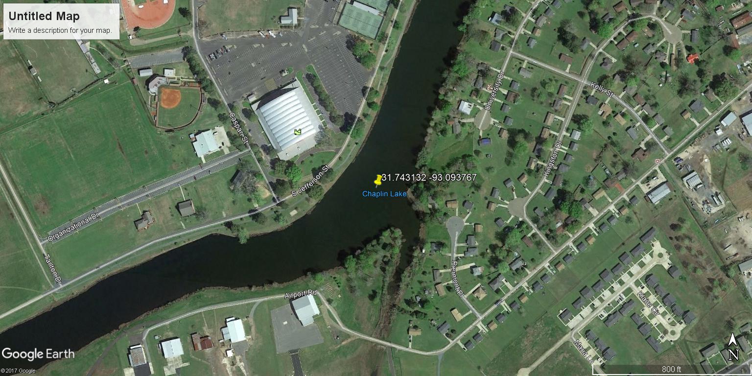
ChaplinsLakeAtNSU | |
| Latitude | 31.743132 | |
| Longitude | -93.093767 | |
|
Site Notes: Samples collected from wooden bridge along paved running trail paralles to lake.
|
||
|
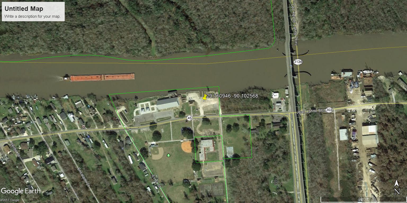
BayouBaratariaLafitte | |
| Latitude | 29.760946 | |
| Longitude | -90.102568 | |
|
Site Notes: Samples collected from Bayou Barataria at the Rosethorn Park Boat ramp
|
||
|
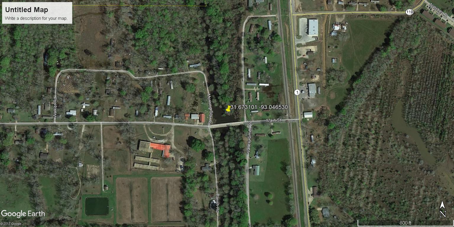
OldRiverBridgeinNachez | |
| Latitude | 31.673101 | |
| Longitude | -93.046530 | |
|
Site Notes: Samples collected facing S from bridge. Area has little vegetation with a few large cypress trees
|
||
|
|
EllenderMiddleSchool | |
| Latitude | 29.760946 | |
| Longitude | -90.102568 | |
|
Site Notes: Bayou Barataria at the Rosethorn Park boat ramp.
|
||
|
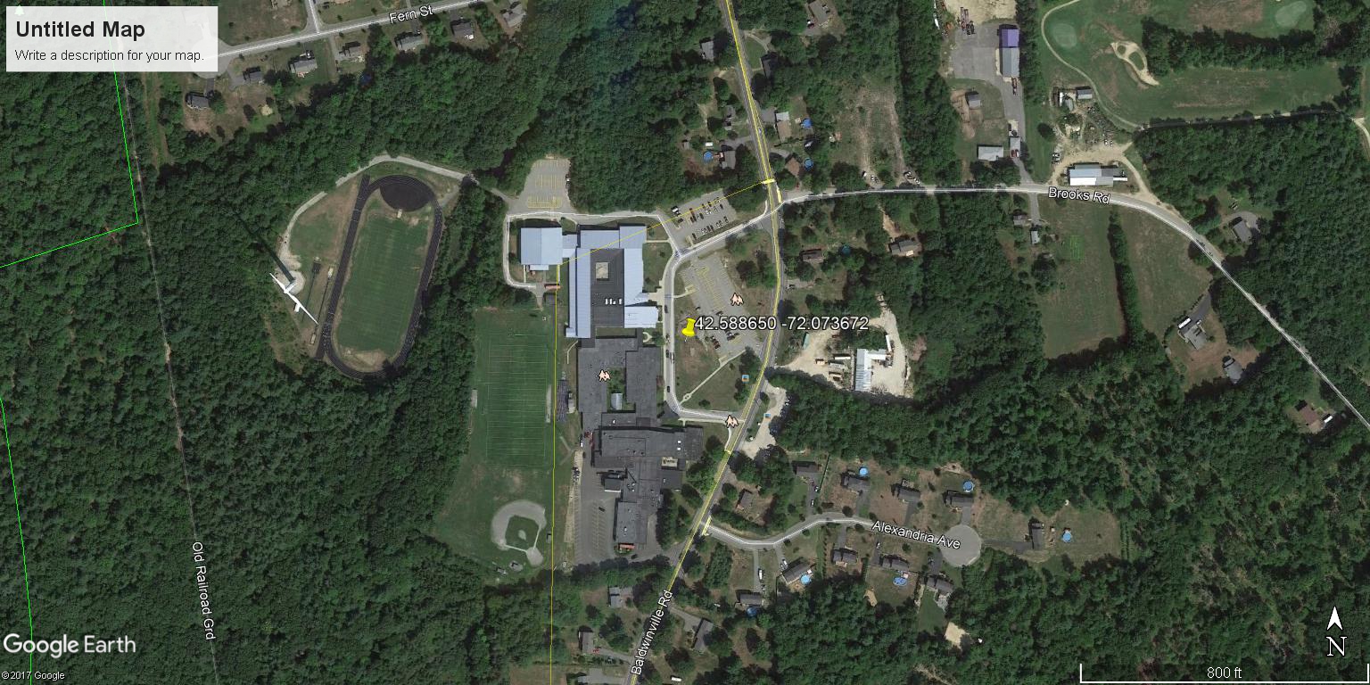
NarragansettRegionalHighSchoolFrogPond | |
| Latitude | 42.588650 | |
| Longitude | -72.073672 | |
|
Site Notes: Site in Baldwinville, MA
|
||
|
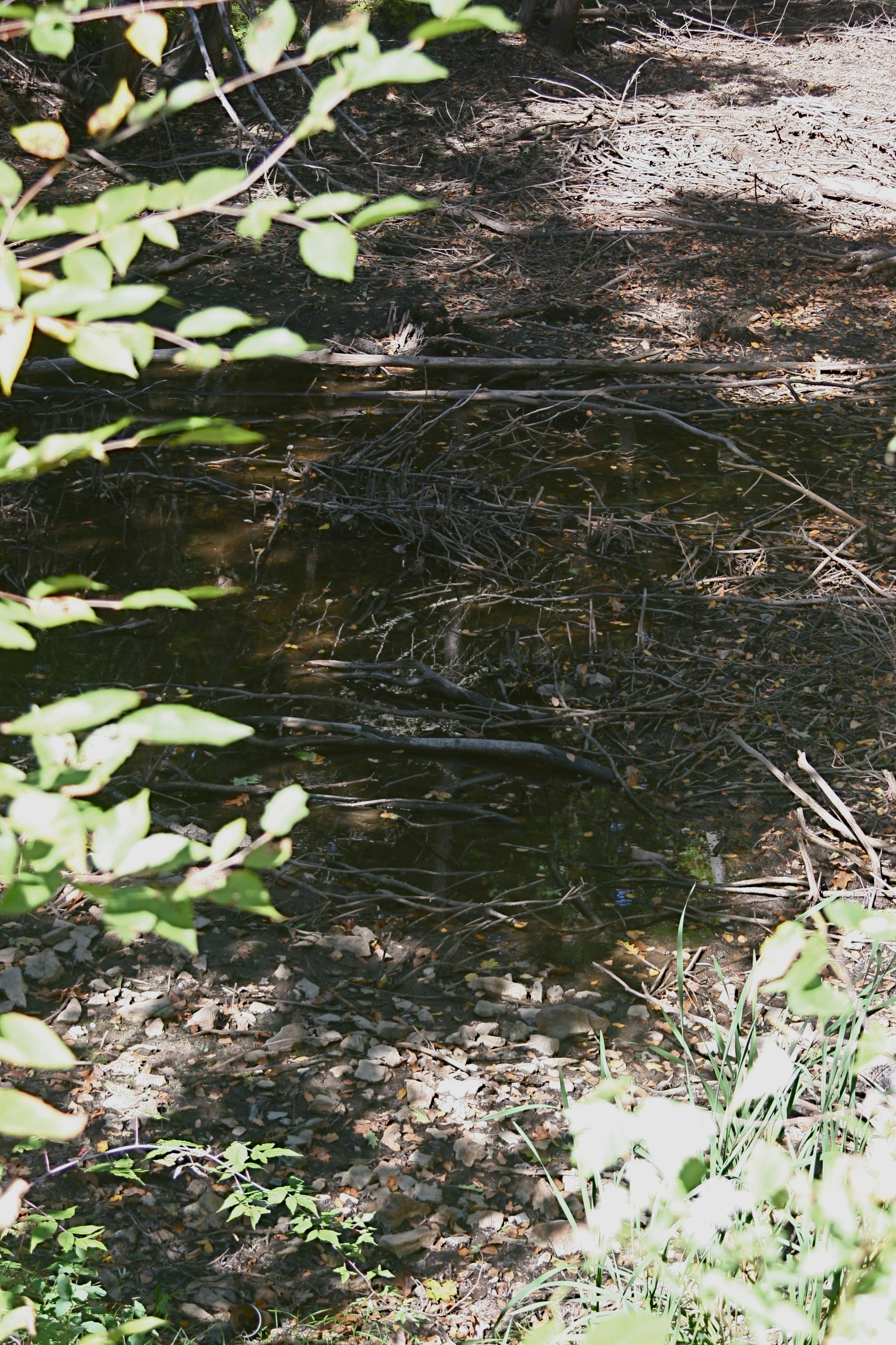
NarragansettRegionalHighSchoolOutletStream | |
| Latitude | 42.588650 | |
| Longitude | -72.073672 | |
|
Site Notes: Site in Baldwinville, MA
|
||
|
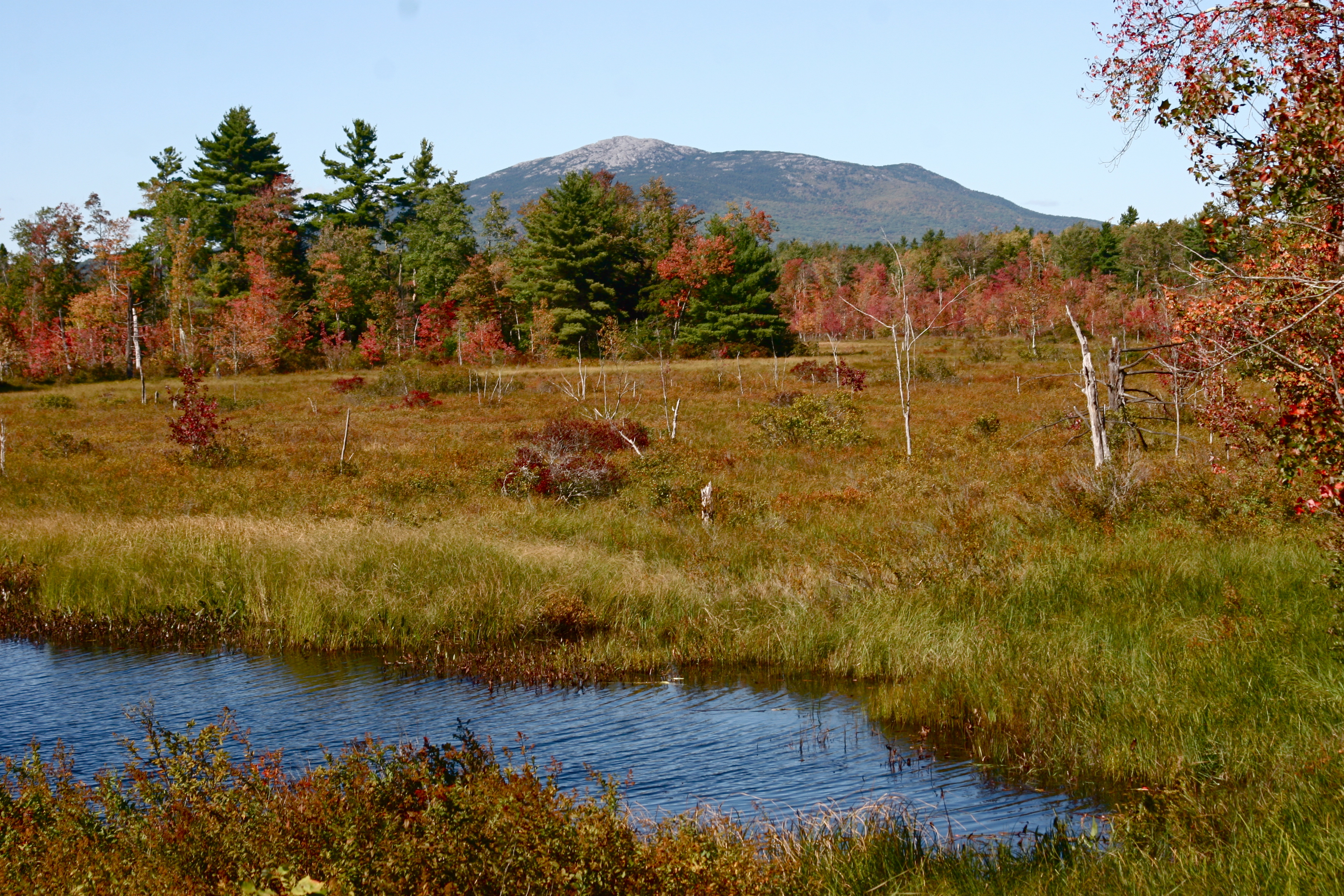
MonadnockViewWetland | |
| Latitude | 42.852407 | |
| Longitude | -72.094306 | |
|
Site Notes: Wetlands site in Fitzwilliam, NH
|
||
|
BayouStJohnMid | |
| Latitude | 30.011341 | |
| Longitude | -90.085254 | |
|
Site Notes: North side of Filmore Ave., BR, west side of Bayou St. John. Facing East along edge of bayou
|
||
|
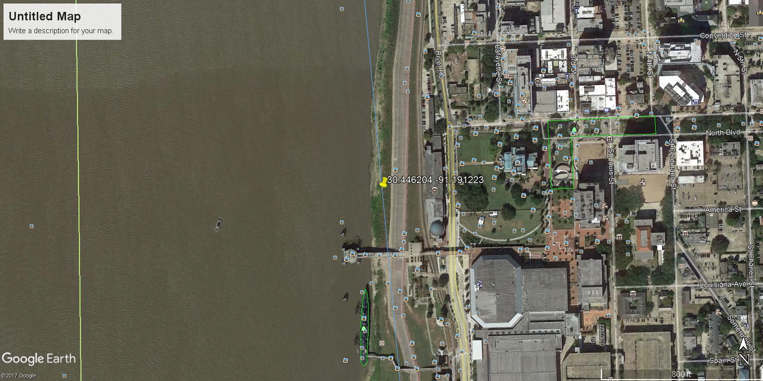
DufrocqSchool | |
| Latitude | 30.446204 | |
| Longitude | -91.191223 | |
|
Site Notes: On River Road by Louisiana Arts and Science Museum, downtown Baton Rouge.
|
||
|
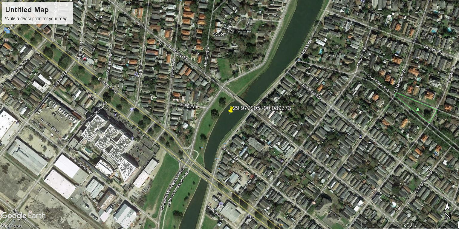
BayouStJohn2 | |
| Latitude | 29.977205 | |
| Longitude | -90.089773 | |
|
Site Notes: Lake Pontchartrain, Jeff Davis Pkwy; 2 bridges on downstream side - facing North and at Lake where bayou empties (also North)
|
||
|
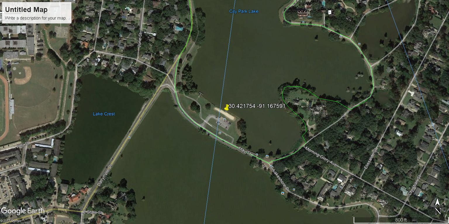
McKinleyHighSchool | |
| Latitude | 30.421754 | |
| Longitude | -91.167591 | |
|
Site Notes: City Park Lake along May street, adjacent tot he parking space facing North.
|
||

|
CrawfishPondAHS | |
| Latitude | ||
| Longitude | ||
|
Site Notes: Pond is virtually square; oriented N - S.
|
||
|
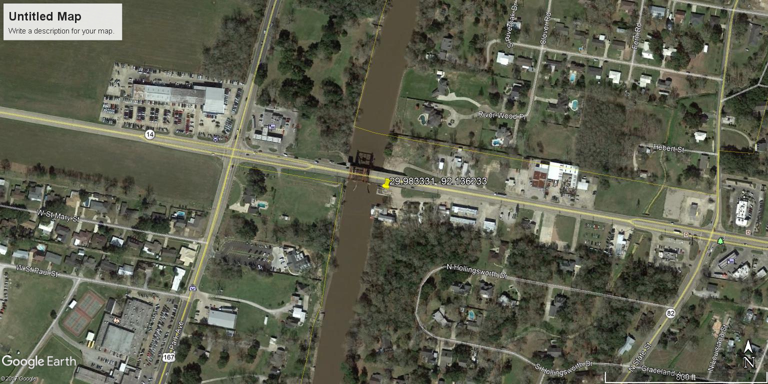
JHSHighway14 | |
| Latitude | 29.983331 | |
| Longitude | -92.136233 | |
|
Site Notes: Facing West, standing at the Hwy 14 & Vermillion Parish boat ramp (right at edge of bridge)
|
||
|
BayouStJohnNorth | |
| Latitude | 30.024692 | |
| Longitude | -90.082792 | |
|
Site Notes: Located on ther lake side of the hurricane protection wall, west bank of the bayou at the point where the concrete sea wall ends
|
||
|
BayouStJohnSouth | |
| Latitude | 29.973785 | |
| Longitude | -90.091315 | |
|
Site Notes: Located at the southern terminus of Bayou St. John, west bank of the bayou across Moss St. from the post office
|
||

|
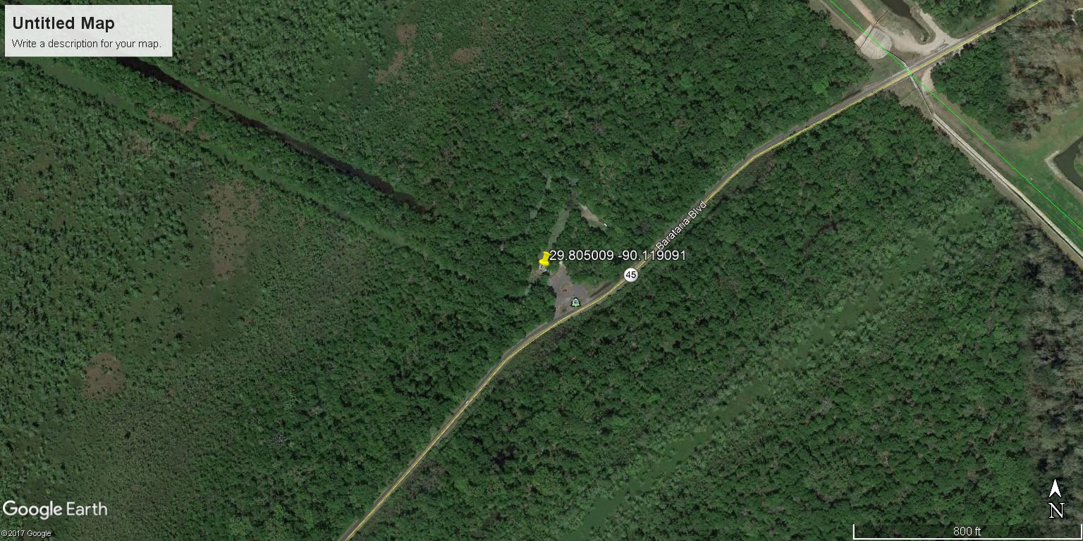
Jean Lafitte National Park Twin Canal | |
| Latitude | 29.805009 | |
| Longitude | -90.119091 | |
|
Site Notes:
|
||
|
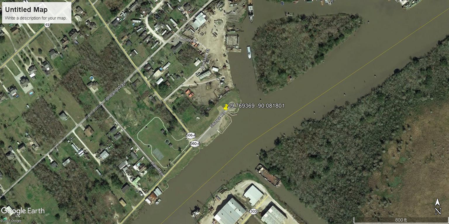
Crown Point Boat Launch | |
| Latitude | 29.769369 | |
| Longitude | -90.081801 | |
|
Site Notes:
|
||
|
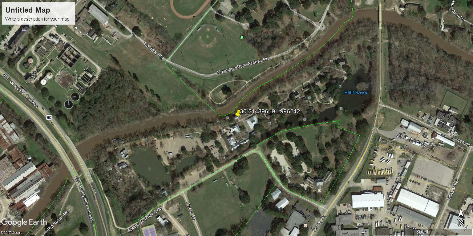
Vermilionville | |
| Latitude | 30.214896 | |
| Longitude | -91.996242 | |
|
Site Notes: Sampling location is at the pavilion located in the park.
|
||
|
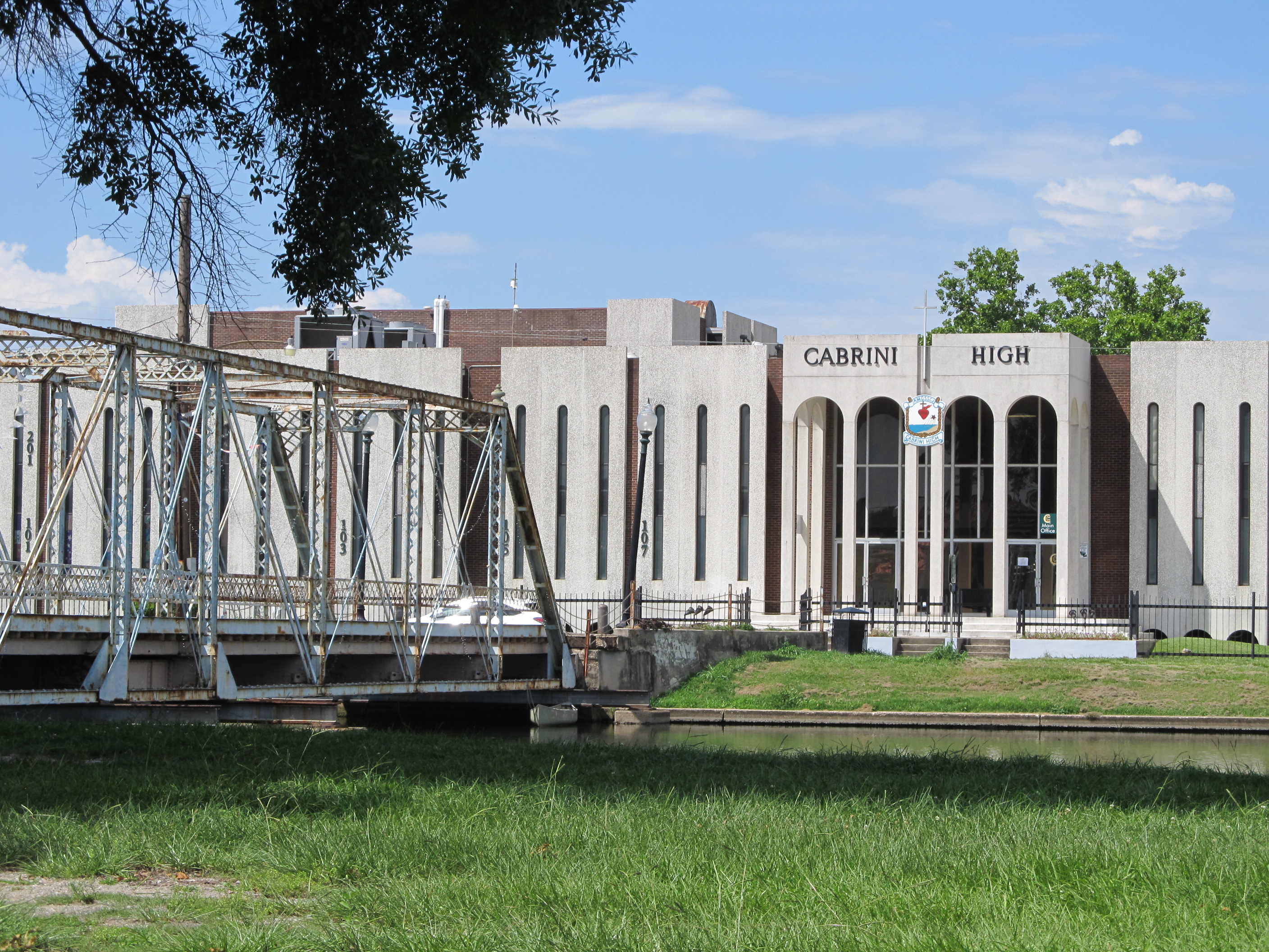
Cabrini High School | |
| Latitude | 29.981383 | |
| Longitude | -90.088345 | |
|
Site Notes: Bayou St. John: : directly across street from front door of school. Sample taken from middle of blue bridge.
|
||
|
|
Bayou Vermilion | |
| Latitude | 30.214450 | |
| Longitude | -91.996392 | |
|
Site Notes: Bayou Vermilion at Lafayette, Louisiana: Bayou Vermilion District sampling site
|
||
|
|
DrainstoCoast_BayouVermilion | |
| Latitude | 30.214889 | |
| Longitude | -91.996348 | |
|
Site Notes: Bayou Vermilion at Lafayette, Louisiana - Bayou Vermilion District sampling site
|
||
|
Soddy_Daisy_TN | |
| Latitude | 35.235969 | |
| Longitude | -85.191028 | |
|
Site Notes: Po Branch, Harrison Lane Bridge, Soddy Daisy, TN. Flowing South toward North Chickamauga Creek.
|
||
|
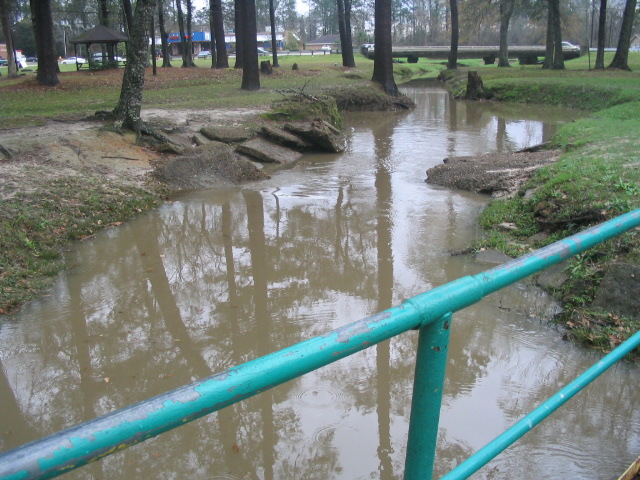
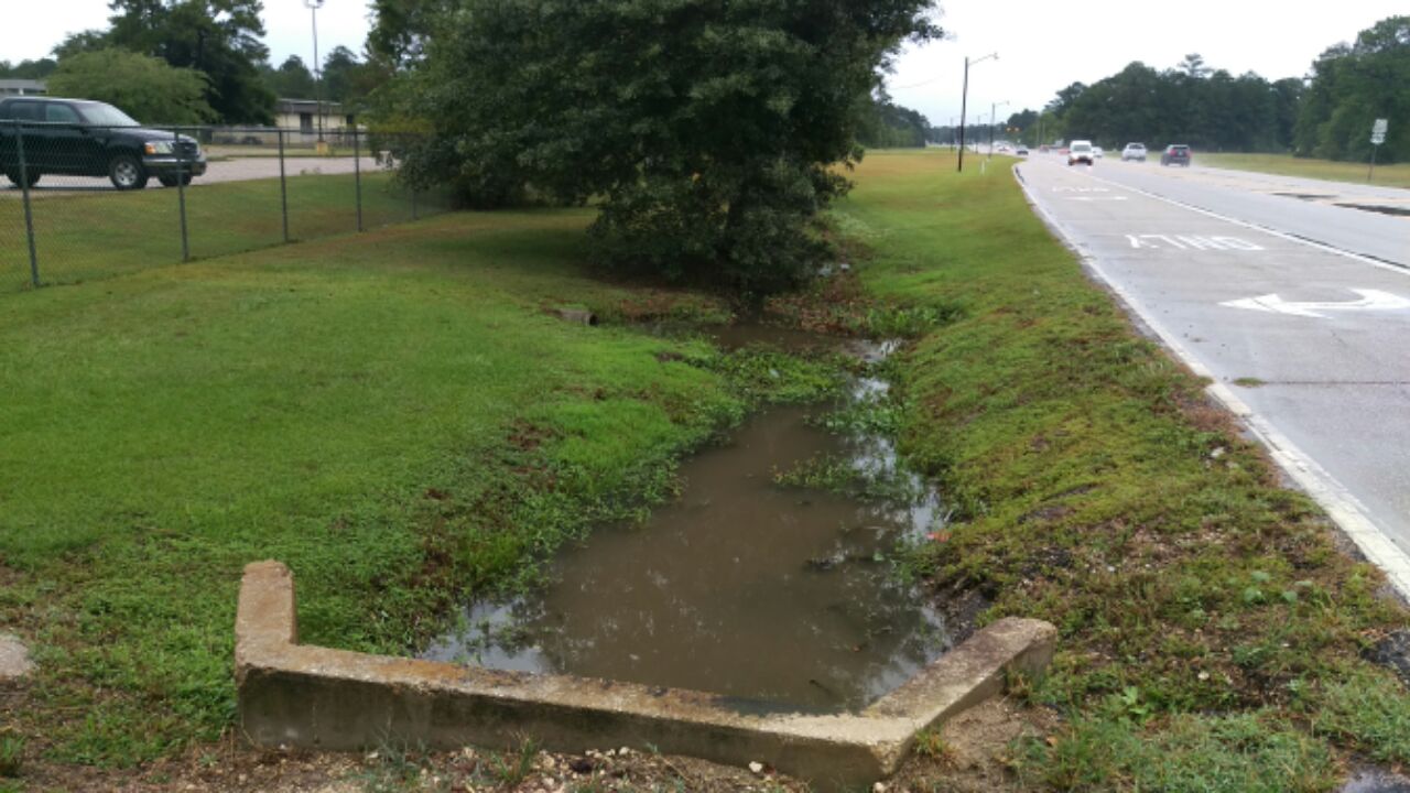
Covington_HS | |
| Latitude | 30.492466 | |
| Longitude | -90.132663 | |
|
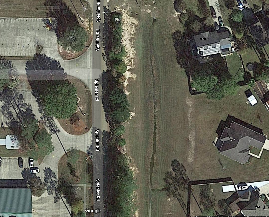
Site Notes: This ditch flows into Mile Branch which is a tributary of the Tchefuncte River. Corner of Stadium Drive and Hwy 190 Facing east
|
||
|
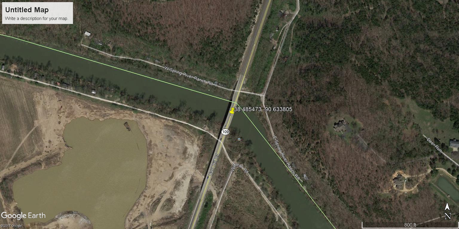
Meramec River, Hwy 109, Eureka, MO | |
| Latitude | 38.485473 | |
| Longitude | -90.633805 | |
|
Site Notes: Sampling from a gravel bar at bend in river. Hamilton Creek empties in just upriver from the testing site.
|
||
|
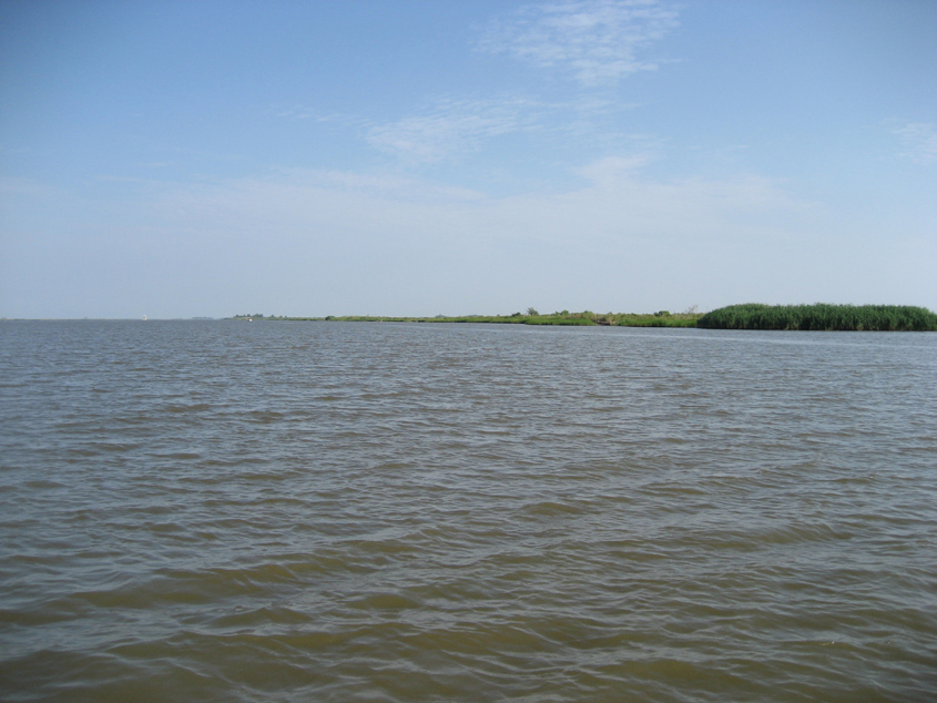
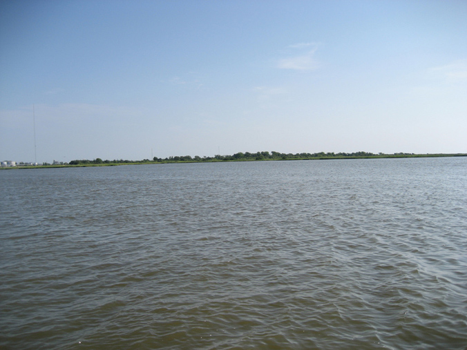
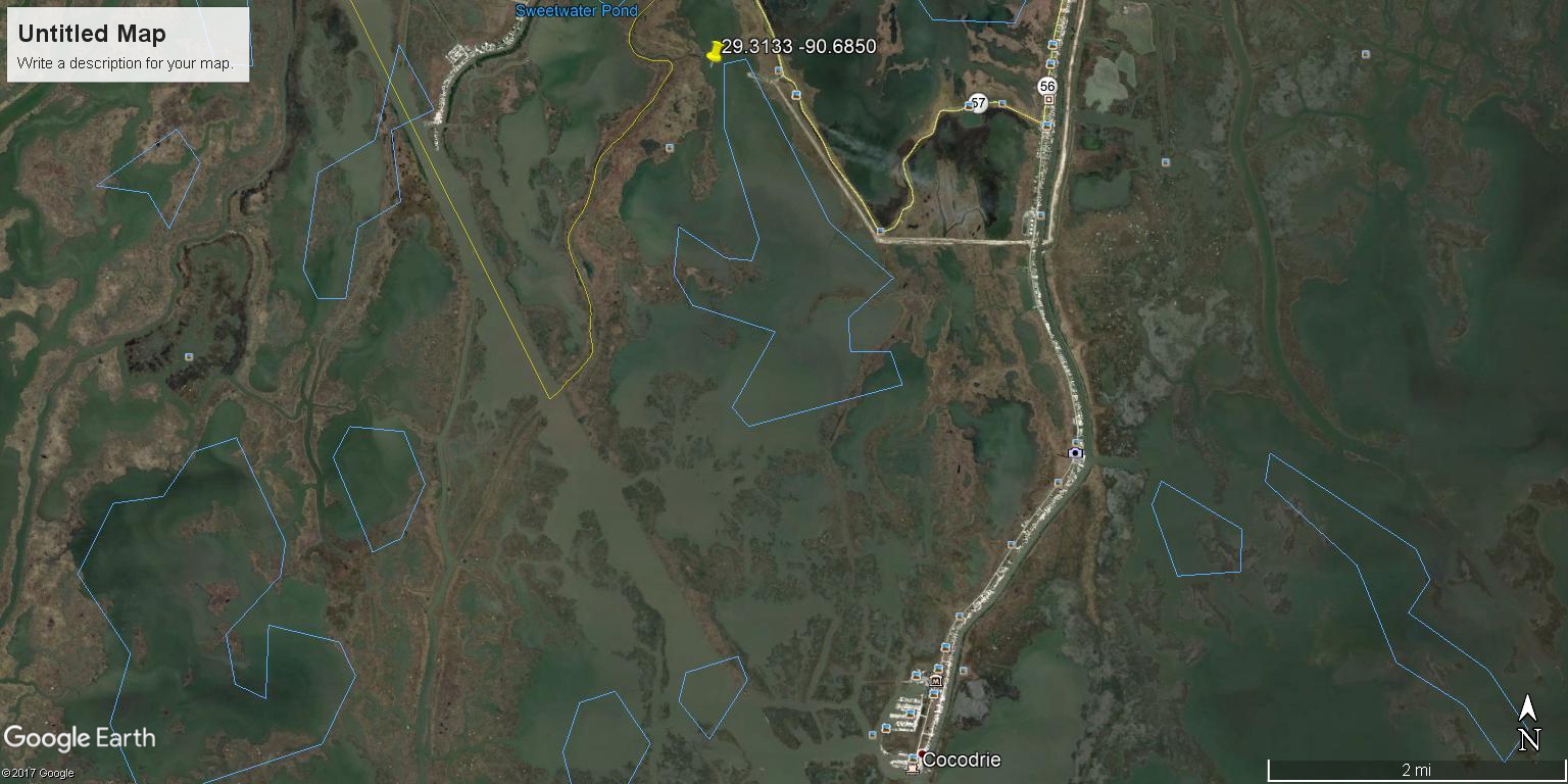
Bayou Sale Lake | |
| Latitude | 29.3133 | |
| Longitude | -90.6850 | |
|
Site Notes: This is a marsh site located in Cocodrie. Only available by boat.
|
||
|
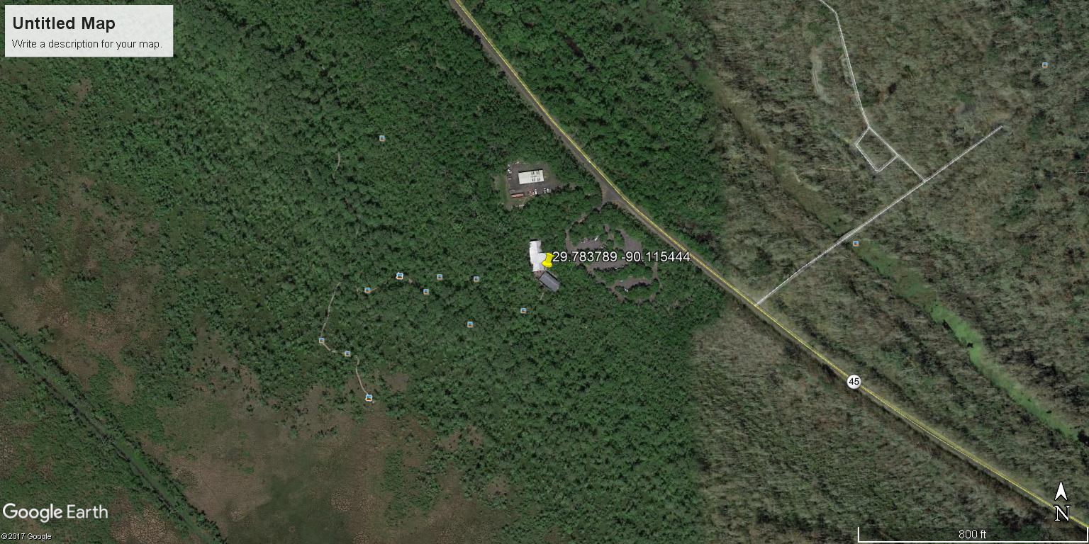
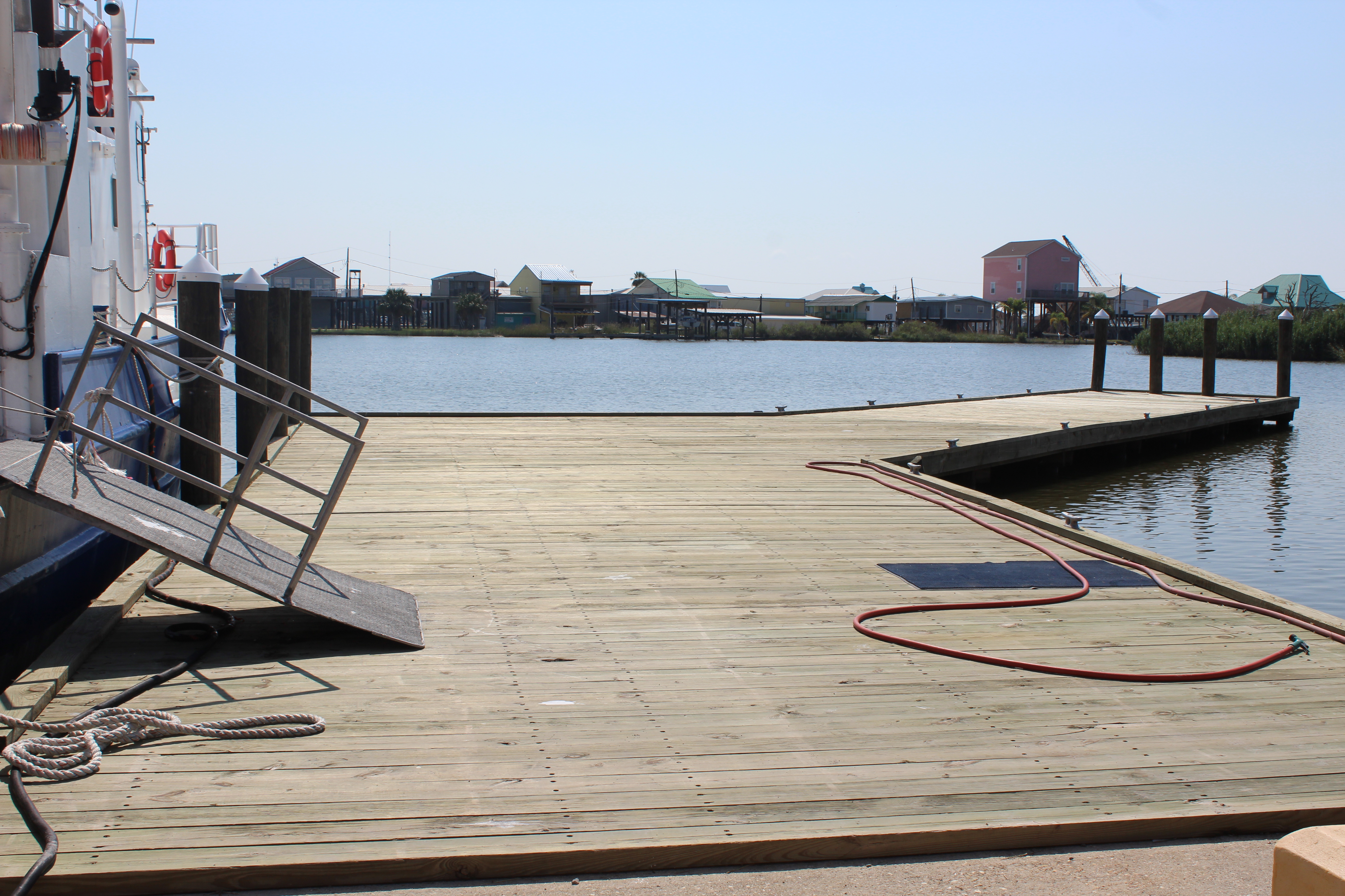
LUMCONAcadianaDock | |
| Latitude | 29.25367 | |
| Longitude | -90.66209 | |
|
Site Notes: Near LUMCON (south side of building). Collection site is by the first cleat on south side of dock.
|
||
|
|
Northshore High School Pond | |
| Latitude | 30° 16\' 13.6812\'\' N | |
| Longitude | 89° 44\' 30.0444\'\' W | |
|
Site Notes: Small pond, highly shaded, prone to flood runoff from nearby streets and large chicken coop
|
||
|
Ashton Pond | |
| Latitude | 30.31975 | |
| Longitude | -89.76078 | |
|
Site Notes: This is a drainage ditch/pond that drains from area neighborhoods and drains into a large drainage pond further down the road.
|
||
|
|
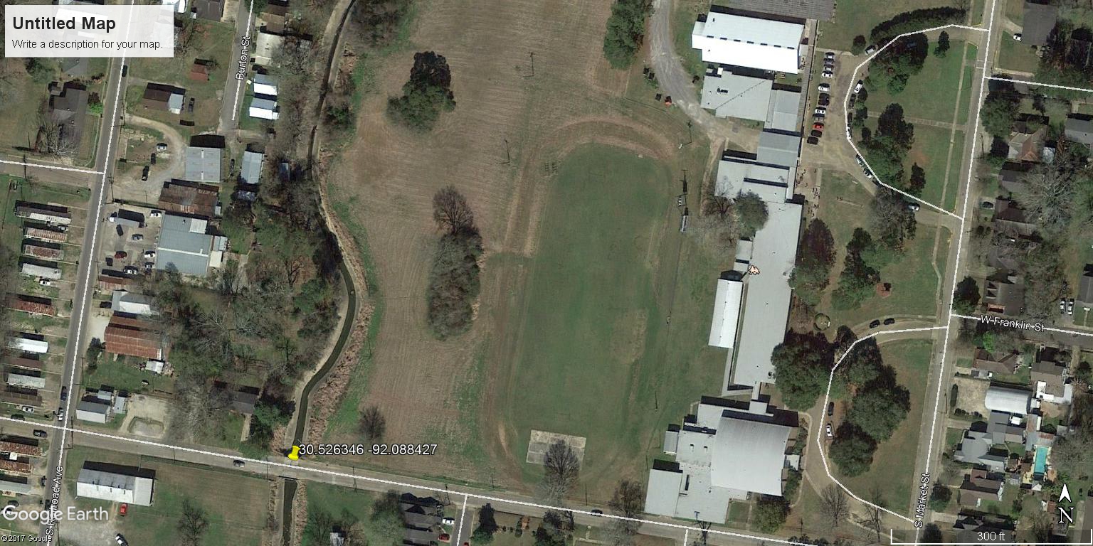
Park Forest Middle School | |
| Latitude | 30.484749 | |
| Longitude | -91.072891 | |
|
Site Notes: Middle School garden next to the parking lot
|
||
|
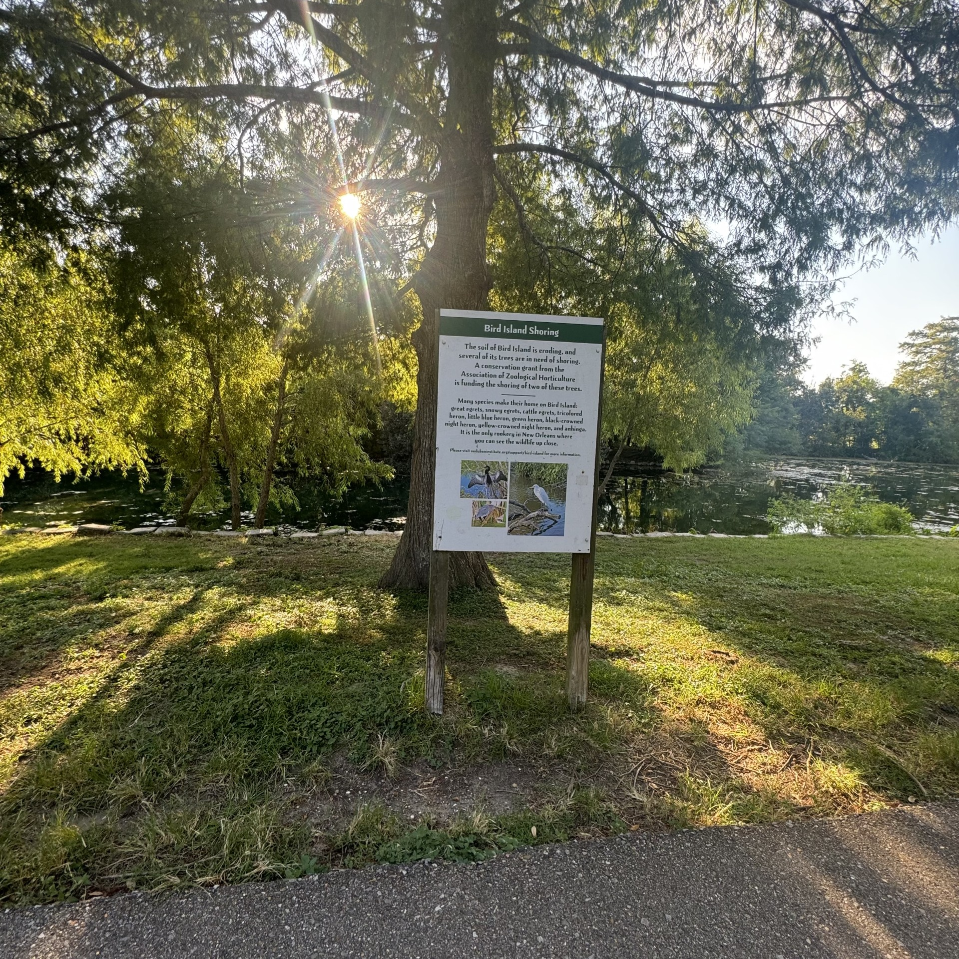
Audubon Lagoon -Bird Island | |
| Latitude | 29.92955 | |
| Longitude | 90.12422 | |
|
Site Notes:
|
||